Albany Hill, Berkeley
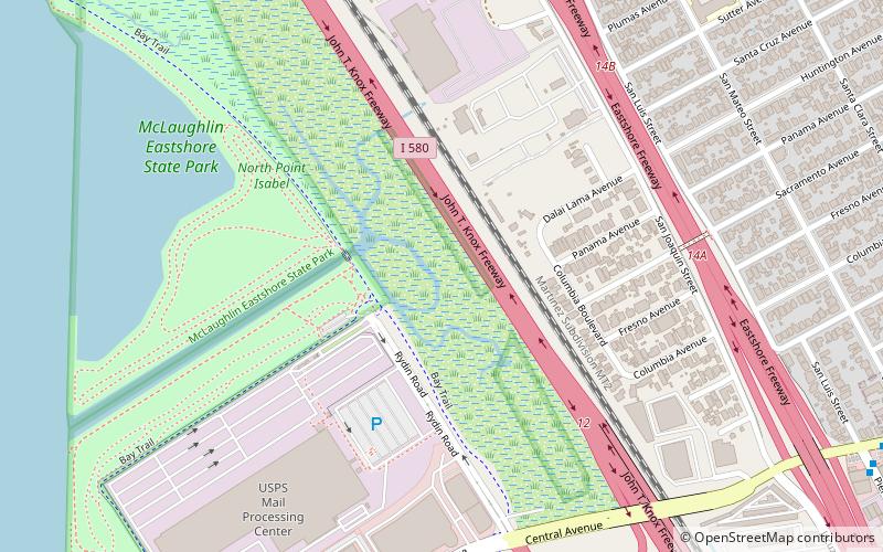
Map

Gallery
Facts and practical information
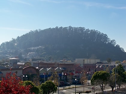
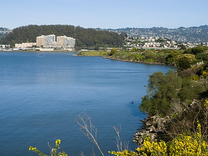
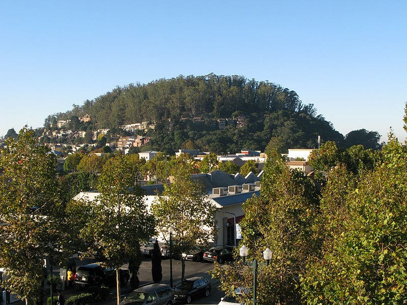
Albany Hill is a prominent hill along the east shore of San Francisco Bay in the city of Albany, California. Geologically, the hill is predominantly Jurassic sandstone, carried to the western edge of North America on the Pacific Plate and scraped off there in the course of subduction. Albany Hill is part of a range of hills uplifted long before today's Berkeley Hills. These hills include Fleming Point and Point Isabel, Brooks Island, the Potrero San Pablo, and the hills across San Pablo Strait. ()
Elevation: 338 ftCoordinates: 37°53'42"N, 122°18'18"W
Address
Albany Hill ParkAlbany (Hillside)Berkeley 94706
ContactAdd
Social media
Add
Day trips
Albany Hill – popular in the area (distance from the attraction)
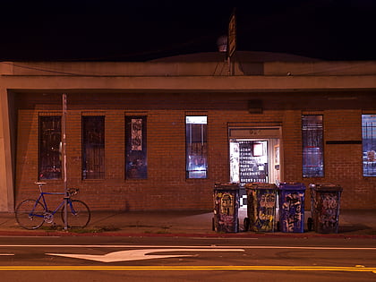
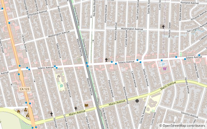
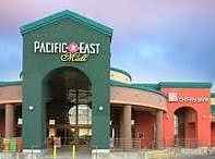
Nearby attractions include: 924 Gilman, Solano Avenue, Pacific East Mall, El Cerrito Plaza.
Frequently Asked Questions (FAQ)
Which popular attractions are close to Albany Hill?
Nearby attractions include Albany, Berkeley (14 min walk), UC Village, Berkeley (19 min walk), Solano Avenue, Berkeley (20 min walk), Albany Library, Berkeley (21 min walk).
How to get to Albany Hill by public transport?
The nearest stations to Albany Hill:
Bus
Metro
Bus
- 555 Pierce Street • Lines: 80 (4 min walk)
- 545 Pierce Street • Lines: 80 (5 min walk)
Metro
- El Cerrito Plaza • Lines: Orange, Red (16 min walk)
