César Chávez Park, Berkeley
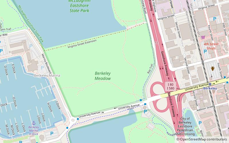
Map
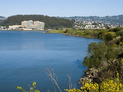
Gallery

Facts and practical information
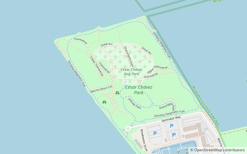
César Chávez Park is a 90 acres city park of Berkeley, California named after César Chávez. It can be found on the peninsula on the north side of the Berkeley Marina in the San Francisco Bay and is adjacent to Eastshore State Park. ()
Created: 1997Elevation: 7 ft a.s.l.Coordinates: 37°52'21"N, 122°19'12"W
Address
11 Spinnaker WayBerkeley (West Berkeley)Berkeley 94710-1612
Contact
(510) 981-6731
Social media
Add
Day trips
César Chávez Park – popular in the area (distance from the attraction)
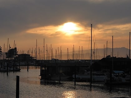
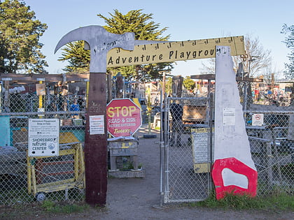
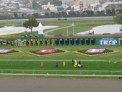
Nearby attractions include: 924 Gilman, Berkeley Marina, Adventure Playground, Golden Gate Fields.
Frequently Asked Questions (FAQ)
Which popular attractions are close to César Chávez Park?
Nearby attractions include Berkeley Marina, Berkeley (13 min walk), Berkeley Pier, Berkeley (18 min walk), Adventure Playground, Berkeley (19 min walk), McLaughlin Eastshore State Park, Berkeley (19 min walk).
How to get to César Chávez Park by public transport?
The nearest stations to César Chávez Park:
Bus
Train
Bus
- Seawall Drive & University Avenue • Lines: 51B (18 min walk)
- Berkeley Marina • Lines: 51B (18 min walk)
Train
- Berkeley (29 min walk)

