Shaw Park, St. Louis
Map

Map

Facts and practical information
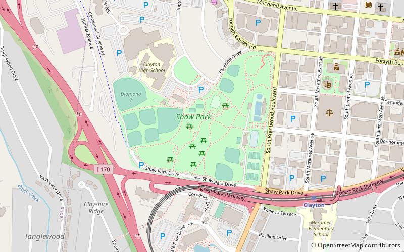
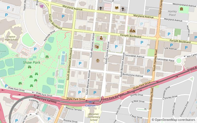
Shaw Park is a 30-acre park in Clayton, Missouri, a near suburb of St. Louis. The city's largest and oldest park, it is bordered by Forsyth Boulevard and Forest Park Parkway on the north and south, and Interstate 170 and Forsyth Boulevard on the west and east. The park is west of St. Louis County District Courthouse and adjacent to Clayton High School. ()
Elevation: 538 ft a.s.l.Coordinates: 38°38'53"N, 90°20'41"W
Day trips
Shaw Park – popular in the area (distance from the attraction)
Nearby attractions include: Saint Louis Galleria, St. Louis County Jail, Clayton, University City.
Frequently Asked Questions (FAQ)
Which popular attractions are close to Shaw Park?
Nearby attractions include St. Louis County Law Library, St. Louis (8 min walk), St. Louis County Jail, St. Louis (9 min walk), Metropolitan Zoological Park and Museum District, St. Louis (14 min walk), Carrswold Historic District, St. Louis (22 min walk).
How to get to Shaw Park by public transport?
The nearest stations to Shaw Park:
Light rail
Light rail
- Clayton • Lines: Blue (8 min walk)
- Forsyth • Lines: Blue (23 min walk)


