Brentmoor Park, St. Louis
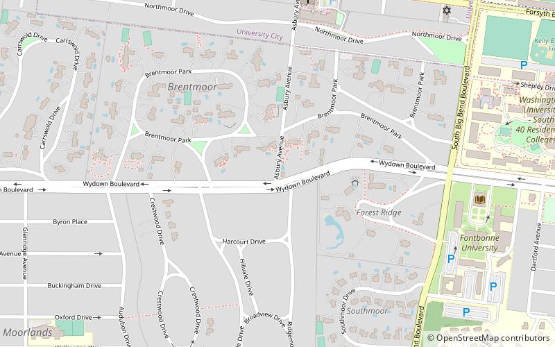
Map

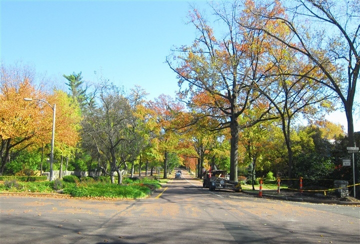
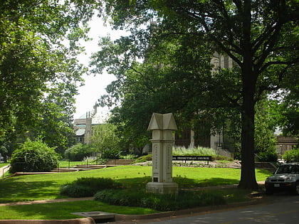
Gallery

Facts and practical information
The Brentmoor Park, Brentmoor and Forest Ridge District is a historic district comprising three private subdivisions in the city of Clayton, Missouri, a suburb of St. Louis, that were platted in 1910, 1911, and 1913, respectively by Henry Wright. It was listed on the National Register of Historic Places in 1982. ()
Coordinates: 38°38'36"N, 90°19'19"W
Address
ClaytonSt. Louis
ContactAdd
Social media
Add
Day trips
Brentmoor Park – popular in the area (distance from the attraction)
Nearby attractions include: Delmar Loop, Mildred Lane Kemper Art Museum, St. Louis County Jail, Fontbonne University.
Frequently Asked Questions (FAQ)
Which popular attractions are close to Brentmoor Park?
Nearby attractions include Fontbonne University, St. Louis (10 min walk), Carrswold Historic District, St. Louis (11 min walk), Clayton, St. Louis (12 min walk), Concordia Seminary, St. Louis (18 min walk).
How to get to Brentmoor Park by public transport?
The nearest stations to Brentmoor Park:
Light rail
Bus
Tram
Light rail
- Forsyth • Lines: Blue (14 min walk)
- University City-Big Bend • Lines: Blue (18 min walk)
Bus
- Snow Way at Big Bend EB • Lines: 5 (17 min walk)
- Forsyth at Wallace Circle • Lines: 5 (17 min walk)
Tram
- University City Library • Lines: Loop Trolley (29 min walk)
- Leland Avenue • Lines: Loop Trolley (32 min walk)


