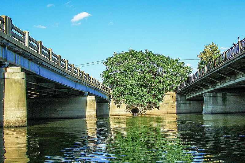
Route 46 Passaic River Bridge, Paterson

Gallery (2)
Map
Map
Gallery
Facts and practical information
The Route 46 Passaic River Bridge can refer to a number of bridges that carry U.S. Route 46 over the Passaic River in Northern New Jersey. US 46 was originally developed as Route 6 under the direction of Morris Goodkind who was chief engineer of the New Jersey Highway Department from 1922 until 1955. ()
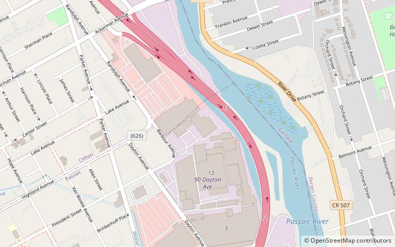
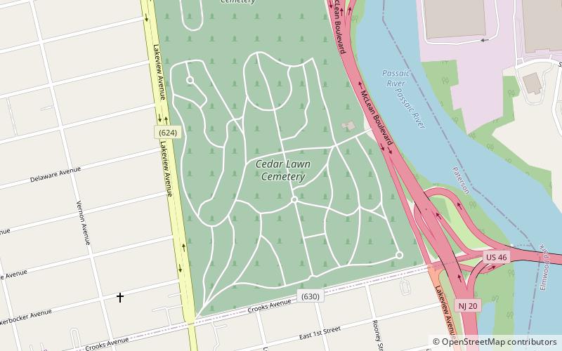
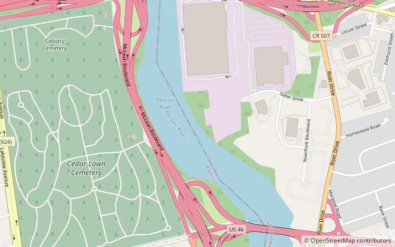
Coordinates: 40°53'50"N, 74°7'55"W
Address
Elmwood ParkPaterson
ContactAdd
Social media
Add
Day trips