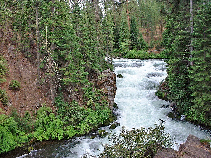
Benham Falls, Sunriver

Gallery (2)
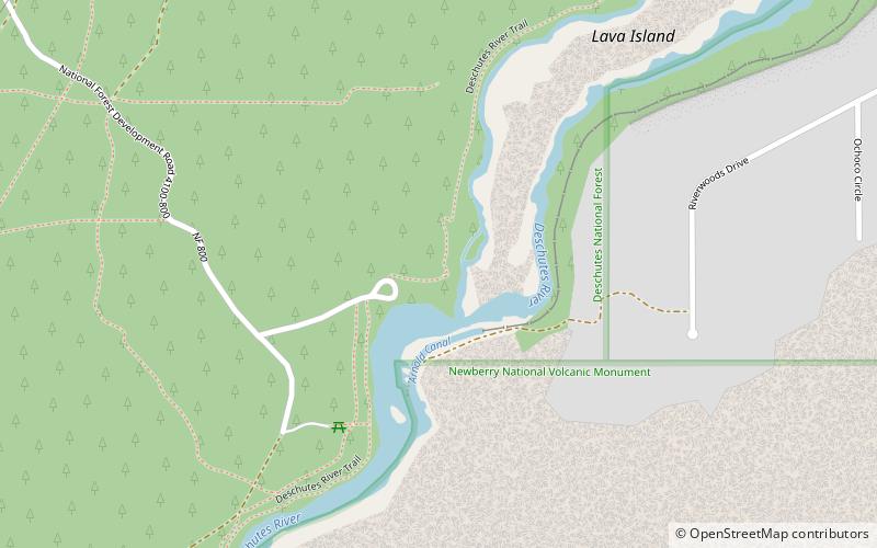
Map
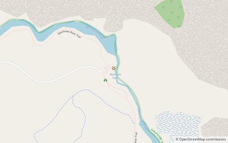
Map
Gallery
Facts and practical information
Benham Falls are rapids of the Deschutes River located between Sunriver and Bend, Oregon, United States. With a pitch of 22.5°, they are rated Class 5 for watercraft, and are the largest falls on the upper Deschutes. ()
Width: 40 ftHeight: 25 ftElevation: 4114 ft a.s.l.Coordinates: 43°56'21"N, 121°24'47"W
Day trips