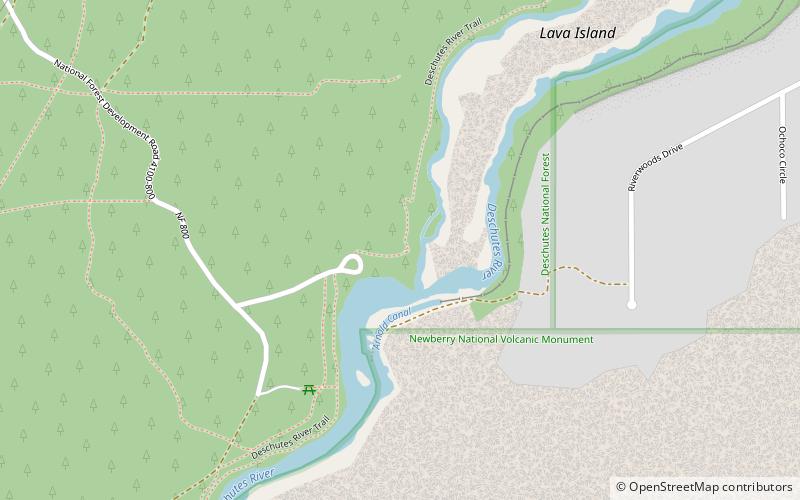
Lava Island Falls, Deschutes National Forest
Map
Facts and practical information
Lava Island Falls are rapids on the Deschutes River. Rated a Class 5, they are difficult to navigate because of an island of lava from Lava Butte that blocked part of the river. ()
Average width: 75 ftHeight: 15 ftCoordinates: 43°59'15"N, 121°23'53"W
Address
Seventh MountainDeschutes National Forest
ContactAdd
Social media
Add
Day trips