West Portland Park, Portland
Map
Map

Facts and practical information
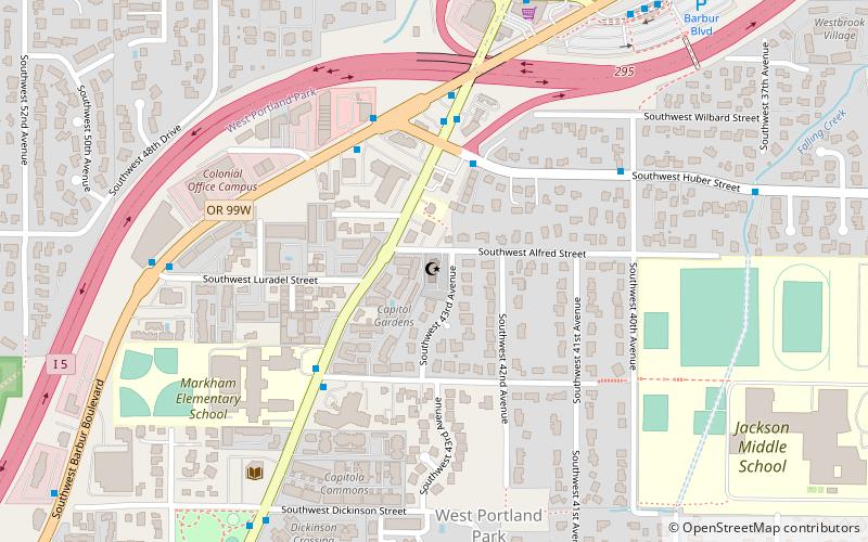
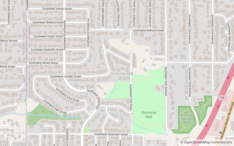
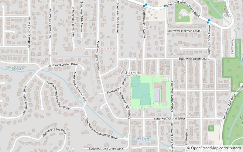
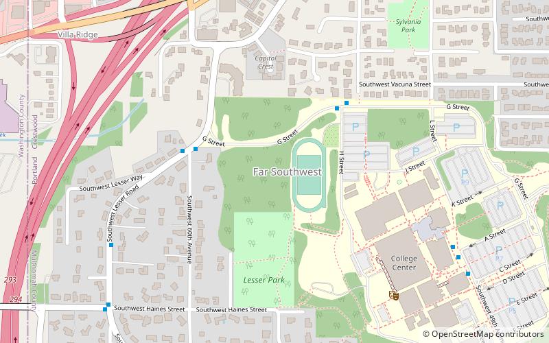
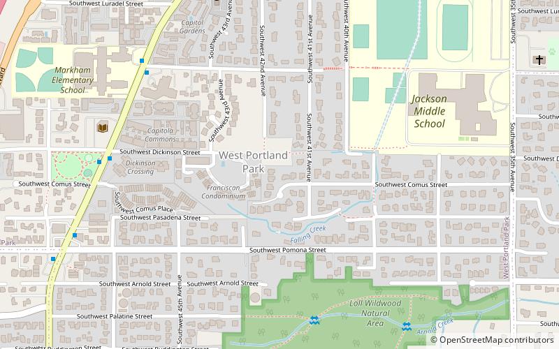
West Portland Park is a neighborhood in the Southwest section of Portland, Oregon. It lies between SW 53rd Ave. in the west and SW 35th Ave. in the east, and I-5 in the north and SW Stephenson St. in the south. South of SW Pomona St. the western border is SW 49th Ave. The neighborhood borders Crestwood and Far Southwest to the west, Multnomah to the north, Markham and Arnold Creek to the east, and the city of Lake Oswego to the south. ()
Coordinates: 45°26'49"N, 122°43'12"W
Day trips
West Portland Park – popular in the area (distance from the attraction)
Nearby attractions include: Rizwan Mosque, Mount Sylvania, Capitol Hill Library, Masjid As-Saber.
Frequently Asked Questions (FAQ)
Which popular attractions are close to West Portland Park?
Nearby attractions include Capitol Hill Library, Portland (7 min walk), Masjid As-Saber, Portland (8 min walk), Rizwan Mosque, Portland (15 min walk), Mount Sylvania, Portland (16 min walk).
How to get to West Portland Park by public transport?
The nearest stations to West Portland Park:
Bus
Bus
- Southwest Capitol & Galeburn • Lines: 44 (7 min walk)
- Southwest Huber & Capitol Highway • Lines: 43 (10 min walk)


