Arnold Creek, Portland
Map
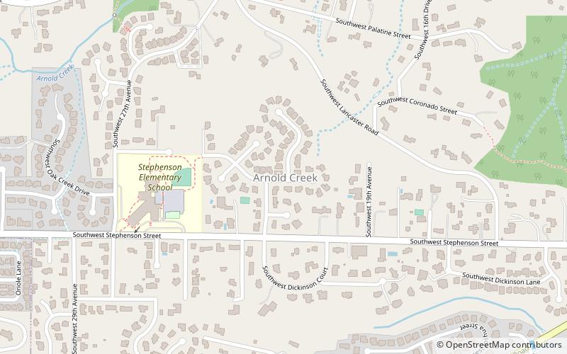
Map

Facts and practical information
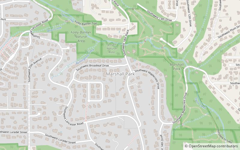
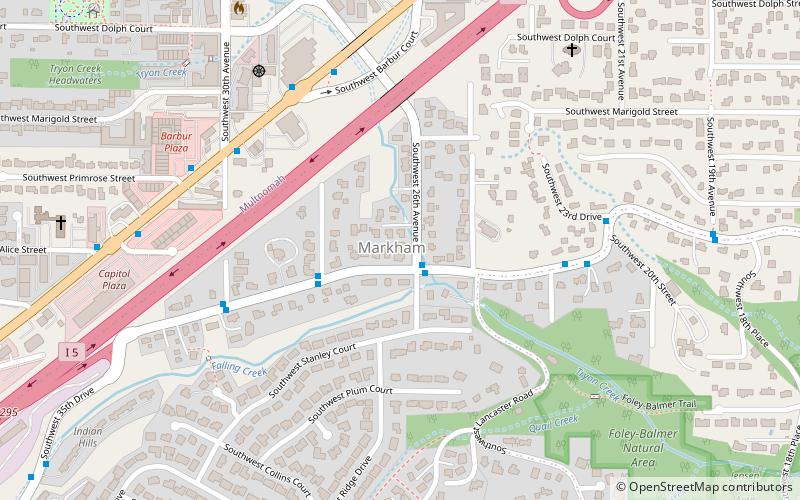
Arnold Creek is a neighborhood in the Southwest section of Portland, Oregon, just north of the city of Lake Oswego and Clackamas County. It borders West Portland Park to the west, Markham and Marshall Park to the north, Collins View and Tryon Creek State Natural Area to the east, and Lake Oswego and the unincorporated Multnomah County enclave of Englewood to the south. ()
Coordinates: 45°26'29"N, 122°41'60"W
Day trips
Arnold Creek – popular in the area (distance from the attraction)
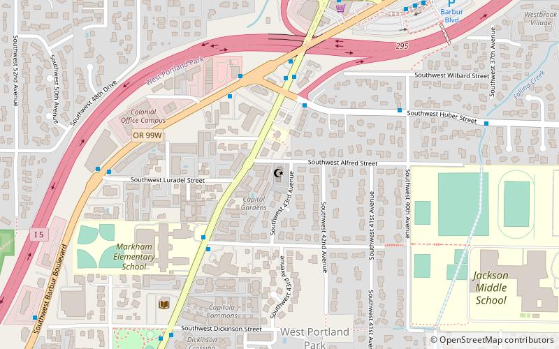
Nearby attractions include: Tryon Creek State Natural Area, Arnold–Park Log Home, Rizwan Mosque, Mount Sylvania.
Frequently Asked Questions (FAQ)
Which popular attractions are close to Arnold Creek?
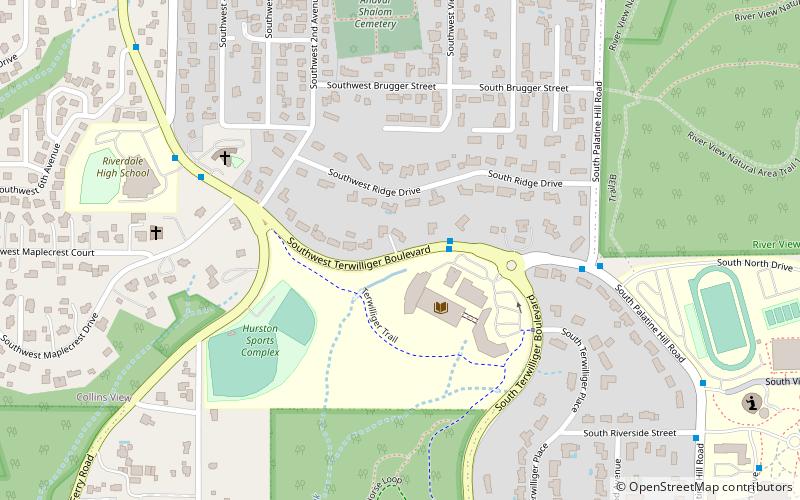
Nearby attractions include Arnold–Park Log Home, Portland (16 min walk), Marshall Park, Portland (22 min walk).
How to get to Arnold Creek by public transport?
The nearest stations to Arnold Creek:
Bus
Bus
- Southwest Boones Ferry Road & Clara Lane • Lines: 38 (10 min walk)


