Marshall Park, Portland
Map
Facts and practical information
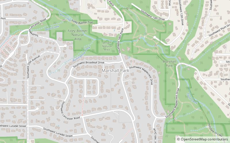
Marshall Park is a neighborhood in the Southwest section of Portland, Oregon. It gets its name from the adjacent Marshall Park donated to the City of Portland by Frederick C. and Addie Mae Marshall in 1948. It borders Markham to the west and north, South Burlingame to the north, Collins View to the east, and Arnold Creek to the south. ()
Coordinates: 45°27'13"N, 122°41'46"W
Getting there by public transportation
Public transportation stops near this location
- Bus
 Bus
Bus
- Calculate route1400 Block Southwest Taylors Ferry 9 min walk
- Calculate routeSouthwest Taylors Ferry & 19th 10 min walk
- Calculate route2200 Block Southwest Taylors Ferry 10 min walk
Day trips


Frequently Asked Questions (FAQ)
Which popular attractions are close to Marshall Park?
Nearby attractions include Markham, Portland (14 min walk), Rizwan Mosque, Portland (21 min walk), Collins View, Portland (21 min walk), Arnold Creek, Portland (22 min walk).
How to get to Marshall Park by public transport?
The nearest stations to Marshall Park:
Bus
Bus
- 1400 Block Southwest Taylors Ferry • Lines: 43 (9 min walk)
- Southwest Taylors Ferry & 19th • Lines: 43 (10 min walk)