Roseway, Portland
Map

Gallery

Facts and practical information
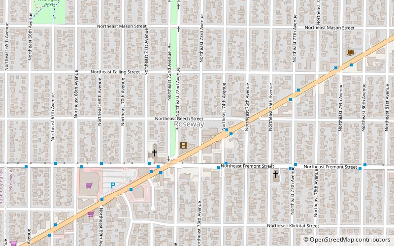
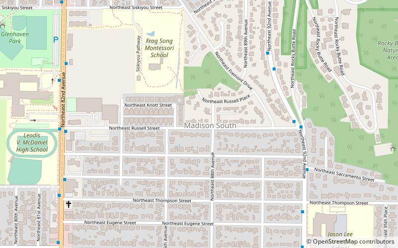
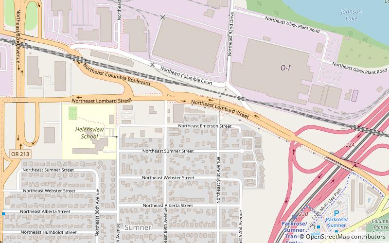
Roseway is a neighborhood in the Northeast section of Portland, Oregon. It is bordered by the neighborhoods Cully to the north and west, Sumner to the northeast, Madison South to the east and south, and Rose City Park to the west ()
Coordinates: 45°32'58"N, 122°35'17"W
Day trips
Roseway – popular in the area (distance from the attraction)
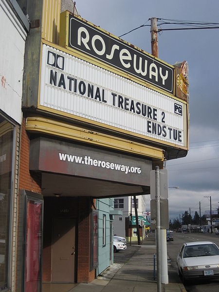
Nearby attractions include: Rocky Butte, The Grotto, City Bible Church, Roseway Theater.
Frequently Asked Questions (FAQ)
Which popular attractions are close to Roseway?
Nearby attractions include Roseway Theater, Portland (2 min walk), Gregory Heights Library, Portland (10 min walk), The Grotto, Portland (18 min walk).
How to get to Roseway by public transport?
The nearest stations to Roseway:
Bus
Light rail
Bus
- Northeast Sandy & 74th • Lines: 12 (2 min walk)
- Northeast Fremont & 74th • Lines: 24 (3 min walk)
Light rail
- Northeast 82nd Avenue • Lines: Blue, Green, Red (31 min walk)
- Parkrose/Sumner Transit Center • Lines: Red (33 min walk)


