Sumner, Portland

Map
Facts and practical information
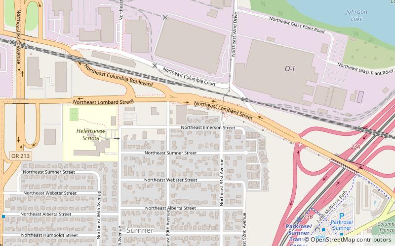
Sumner is a neighborhood in the Northeast section of Portland, Oregon, including the portion of the city of Maywood Park west of Interstate 205. The area includes Portland International Airport at its northern extreme but there are no residences surrounding it. Also the area north of Columbia Blvd. is industrial and commercial, though it does contain a few hotels. ()
Coordinates: 45°33'43"N, 122°34'12"W
Day trips
Sumner – popular in the area (distance from the attraction)
Nearby attractions include: Rocky Butte, The Grotto, City Bible Church, Roseway Theater.
Frequently Asked Questions (FAQ)
Which popular attractions are close to Sumner?
Nearby attractions include Columbia Pioneer Cemetery, Portland (12 min walk), The Grotto, Portland (17 min walk), City Bible Church, Portland (21 min walk), Gregory Heights Library, Portland (23 min walk).
How to get to Sumner by public transport?
The nearest stations to Sumner:
Light rail
Bus
Light rail
- Parkrose/Sumner Transit Center • Lines: Red (8 min walk)
- Cascades • Lines: Red (24 min walk)
Bus
- Parkrose/Sumner Transit Center • Lines: 12, 21, 65, 71, 73 (9 min walk)
- Northeast Prescott & 89th • Lines: 71 (11 min walk)


