Hueston Woods State Park, Oxford
Map

Map

Facts and practical information
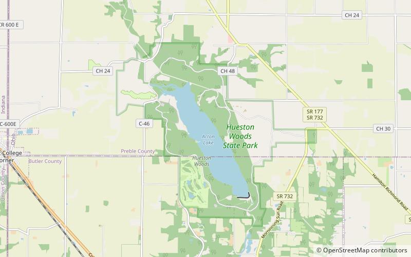
Hueston Woods State Park is a state park located in Butler and Preble counties of the U.S. state of Ohio, about five miles northeast of Oxford in the southwestern part of the state. The park lies in Oxford Township, Butler County, and Israel Township, Preble County. It has nearly 3,000 acres, including a man-made lake of 625 acres. The park's beech-maple climax forest has been designated a National Natural Landmark. ()
Established: 1957 (69 years ago)Elevation: 853 ft a.s.l.Coordinates: 39°34'29"N, 84°44'56"W
Day trips
Hueston Woods State Park – popular in the area (distance from the attraction)
Nearby attractions include: Black Covered Bridge, King Library, Hall Auditorium, Oxford Community Arts Center.


