Bruce Freeman Rail Trail, Chelmsford
Map

Map

Facts and practical information
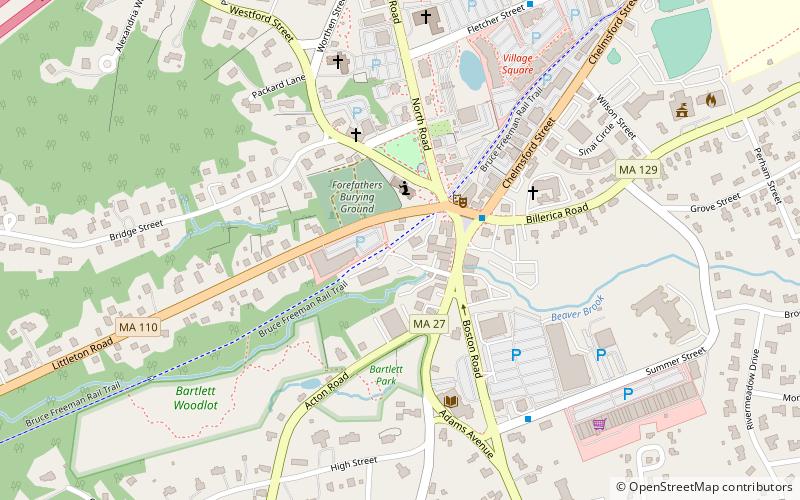
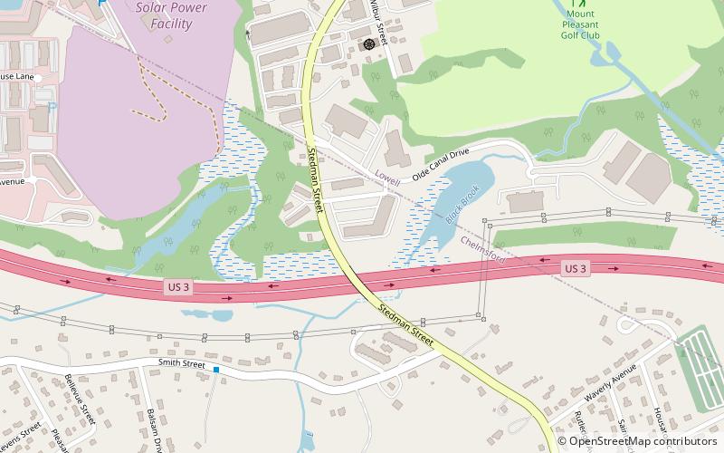
Bruce Freeman Rail Trail is a place located in Chelmsford (Massachusetts state) and belongs to the category of hiking trail, hiking, bike trail.
It is situated at an altitude of 138 feet, and its geographical coordinates are 42°35'47"N latitude and 71°21'12"W longitude.
Among other places and attractions worth visiting in the area are: Chelmsford Public Library (entertainment, 8 min walk), Barrett–Byam Homestead (museum, 35 min walk), Islamic Society of Greater Lowell, Lowell (mosque, 45 min walk).
Elevation: 138 ft a.s.l.Coordinates: 42°35'47"N, 71°21'12"W
Day trips
Bruce Freeman Rail Trail – popular in the area (distance from the attraction)
Nearby attractions include: Edward A. LeLacheur Park, Tsongas Center at UMass Lowell, Lowell Memorial Auditorium, Great Brook Farm State Park.


