Washington Bridge, Washington
Map

Map

Facts and practical information
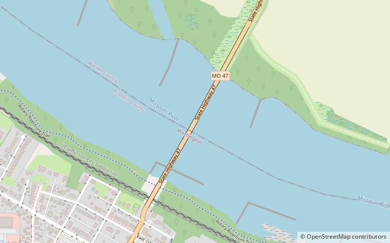
The Washington Bridge was a cantilever truss bridge over the Missouri River at Washington, Missouri over which Route 47 passed between Franklin County, Missouri and Warren County, Missouri. It has also been known as the Route 47 Missouri River Bridge. ()
Coordinates: 38°33'28"N, 90°59'53"W
Address
MO Highway 47Washington 63090
ContactAdd
Social media
Add
Day trips
Washington Bridge – popular in the area (distance from the attraction)
Nearby attractions include: Washington Historical Society, John F. Schwegmann House, Gary R. Lucy Gallery, Stafford–Olive Historic District.
Frequently Asked Questions (FAQ)
Which popular attractions are close to Washington Bridge?
Nearby attractions include Washington Historical Society, Washington (19 min walk), Downtown Washington Historic District, Washington (21 min walk), Gary R. Lucy Gallery, Washington (21 min walk).
How to get to Washington Bridge by public transport?
The nearest stations to Washington Bridge:
Train
Train
- Washington (21 min walk)

 Metro
Metro


