Brent Spence Bridge, Cincinnati

Gallery (3)
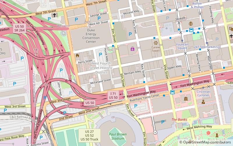
Map
Map
Gallery
Facts and practical information
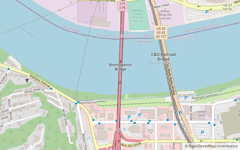
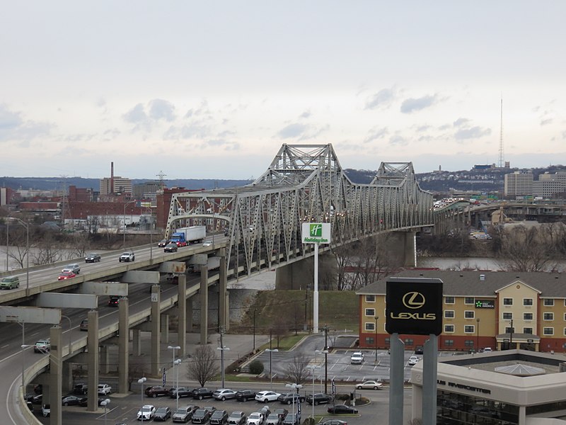
The Brent Spence Bridge is a double decker, cantilevered truss bridge that carries Interstates 71 and 75 across the Ohio River between Covington, Kentucky and Cincinnati, Ohio. The top deck carries Kentucky-bound traffic while the bottom deck carries Ohio-bound traffic. ()
Length: 1736 ftCoordinates: 39°5'25"N, 84°31'21"W
Getting there by public transportation
Public transportation stops near this location
- Bus
- Tram
 Bus
Bus
- Calculate routeW 3rd St & Philadelphia St 5 min walk
- Calculate routeHighway Ave & Western Ave 6 min walk
- Calculate routePhiladelphia at 3rd White Castle 7 min walk
- Calculate routeCincinnati Cyclones 23 min walk
- Calculate routeFountain Square 25 min walk
- Calculate route247 Telemarketing 26 min walk
- Calculate routeAronoff Center 29 min walk
Day trips
Brent Spence Bridge – popular in the area (distance from the attraction)
Nearby attractions include: National Underground Railroad Freedom Center, Great American Ball Park, Paul Brown Stadium, Contemporary Arts Center.


Frequently Asked Questions (FAQ)
Which popular attractions are close to Brent Spence Bridge?
Nearby attractions include Clay Wade Bailey Bridge, Cincinnati (5 min walk), C&O Railroad Bridge, Cincinnati (5 min walk), Paul Brown Stadium, Cincinnati (13 min walk), Mainstrasse Village, Covington (14 min walk).
How to get to Brent Spence Bridge by public transport?
The nearest stations to Brent Spence Bridge:
Bus
Tram
Bus
- W 3rd St & Philadelphia St • Lines: 3 (5 min walk)
- Highway Ave & Western Ave • Lines: 3 (6 min walk)
Tram
- Cincinnati Cyclones • Lines: 100 (23 min walk)
- Fountain Square • Lines: 100 (25 min walk)