Eagle Falls, Mount Baker–Snoqualmie National Forest

Map
Facts and practical information
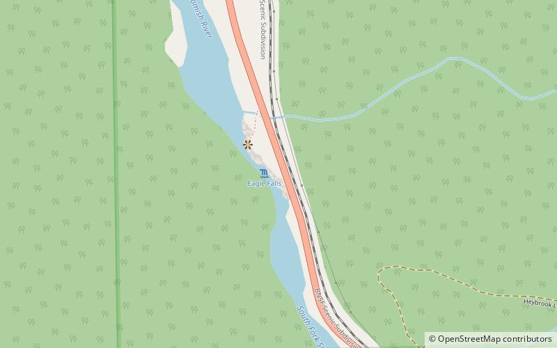
Eagle Falls is the uppermost waterfall on the South Fork Skykomish River in Washington. The falls are located downstream from the town of Baring and drop about 25 feet in a high volume cascade. ()
Coordinates: 47°47'45"N, 121°30'50"W
Address
Mount Baker–Snoqualmie National Forest
ContactAdd
Social media
Add
Day trips
Eagle Falls – popular in the area (distance from the attraction)
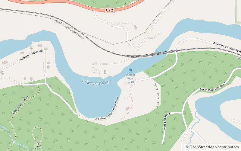
Nearby attractions include: Sunset Falls, Bridal Veil Falls, Baring Mountain, Canyon Falls.


