Broad Canal, Boston

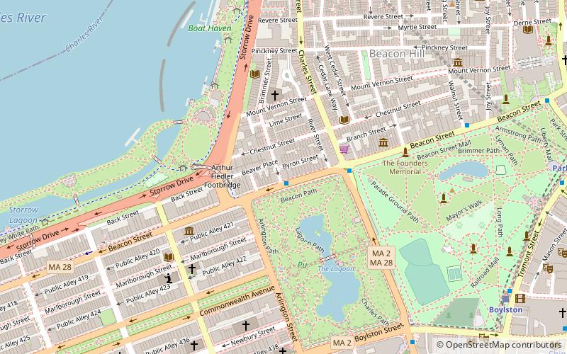
Map
Facts and practical information
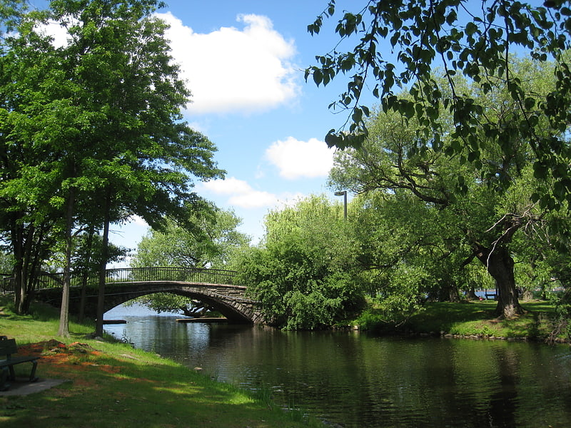
Broad Canal is a short canal in East Cambridge, Massachusetts, previously larger and part of the now-vanished canal system that made Cambridge an active seaport. ()
Coordinates: 42°21'46"N, 71°4'50"W
Address
279 1st Street Cambridge, MACambridge (Kendall Square)Boston 02142
ContactAdd
Social media
Getting there by public transportation
Public transportation stops near this location
- Metro
- Bus
- Light rail
- Train
 Metro
Metro
- Calculate routeKendall/MIT 7 min walk
- Calculate routeCharles/MGH 12 min walk
- Calculate routeCommunity College 24 min walk
- Calculate routeBowdoin 25 min walk
- Calculate route84 Massachusetts Ave 19 min walk
- Calculate routeMassachusetts Ave @ Albany St 21 min walk
- Calculate routeBoylston St @ Berkeley St 23 min walk
- Calculate routeSaint James Ave @ Dartmouth St 24 min walk
- Calculate routeCopley 23 min walk
- Calculate routeArlington 23 min walk
- Calculate routePark Street 26 min walk
- Calculate routeBoylston 27 min walk
- Calculate routeBoston North Station 25 min walk
- Calculate routeBoston Back Bay 29 min walk
- Calculate routeLansdowne 37 min walk
Maps MBTA Subway
MBTA SubwayDay trips


Frequently Asked Questions (FAQ)
Which popular attractions are close to Broad Canal?
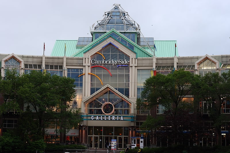
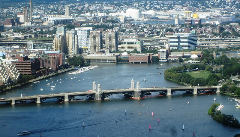
Nearby attractions include Kendall Square, Boston (5 min walk), Galaxy: Earth Sphere, Boston (5 min walk), Longfellow Bridge, Boston (7 min walk), Blake and Knowles Steam Pump Company National Register District, Boston (8 min walk).
How to get to Broad Canal by public transport?
The nearest stations to Broad Canal:
Metro
Bus
Light rail
Train
Metro
- Kendall/MIT • Lines: Red (7 min walk)
- Charles/MGH • Lines: Red (12 min walk)
Bus
- 84 Massachusetts Ave • Lines: 1, Ct1 (19 min walk)
- Massachusetts Ave @ Albany St • Lines: 1 (21 min walk)
Light rail
- Copley • Lines: B, C, D, E (23 min walk)
- Arlington • Lines: B, C, D, E (23 min walk)
Train
- Boston North Station (25 min walk)
- Boston Back Bay (29 min walk)