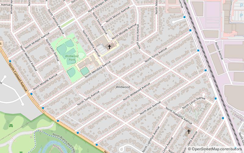
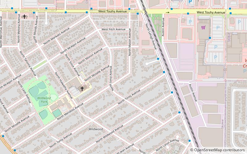
Wildwood, Chicago
Map
Facts and practical information
Wildwood is a neighborhood located in the Forest Glen Community Area on the Far Northwest side of Chicago, Illinois. ()
Coordinates: 42°0'23"N, 87°46'36"W
Address
Far North Side (Forest Glen)Chicago
ContactAdd
Social media
Add
Getting there by public transportation
Public transportation stops near this location
- Bus
- Train
 Bus
Bus
- Calculate routeCaldwell & Wildwood 7 min walk
- Calculate routeLehigh & Wildwood 8 min walk
- Calculate routeEdgebrook 20 min walk
- Calculate routeNorwood Park 40 min walk
Maps Rail "L"
Rail "L"Day trips


Frequently Asked Questions (FAQ)
Which popular attractions are close to Wildwood?
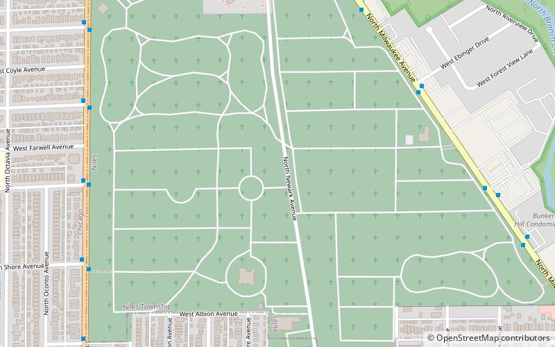
Nearby attractions include St. Mary of the Woods Catholic Church, Chicago (5 min walk), Leaning Tower of Niles, Niles (15 min walk), Old Edgebrook District, Chicago (24 min walk).
How to get to Wildwood by public transport?
The nearest stations to Wildwood:
Bus
Train
Bus
- Caldwell & Wildwood • Lines: 85A (7 min walk)
- Lehigh & Wildwood • Lines: 85A (8 min walk)
Train
- Edgebrook (20 min walk)
- Norwood Park (40 min walk)