St. Mary of the Woods Catholic Church, Chicago
Map
Facts and practical information
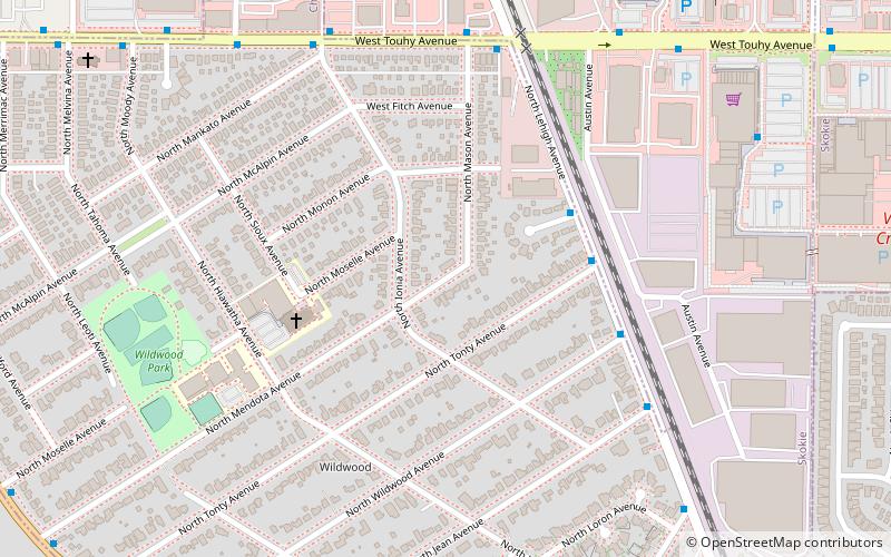
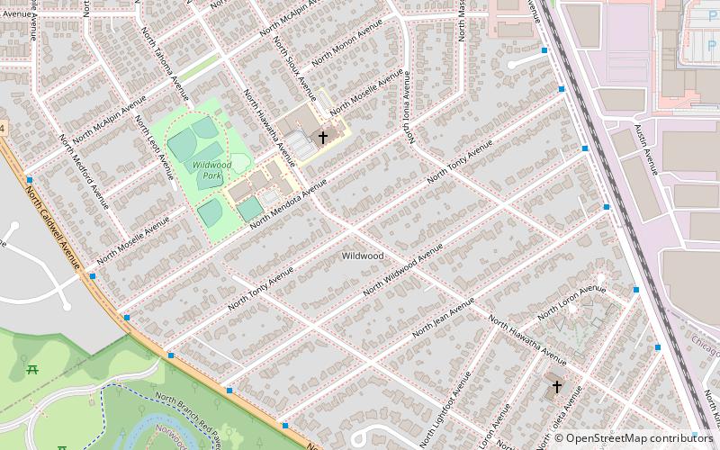
St. Mary of the Woods Catholic Church is a parish in the Archdiocese of Chicago located at 7033 North Moselle Avenue in the Edgebrook neighborhood of Chicago, Illinois. ()
Coordinates: 42°0'31"N, 87°46'29"W
Address
Far North Side (Forest Glen)Chicago
ContactAdd
Social media
Add
Getting there by public transportation
Public transportation stops near this location
- Bus
- Train
 Bus
Bus
- Calculate routeLehigh & Greenleaf 4 min walk
- Calculate routeTouhy & Lehigh 6 min walk
- Calculate routeEdgebrook 22 min walk
Maps Rail "L"
Rail "L"Day trips


Frequently Asked Questions (FAQ)
Which popular attractions are close to St. Mary of the Woods Catholic Church?
Nearby attractions include Wildwood, Chicago (5 min walk), Leaning Tower of Niles, Niles (15 min walk), Chicago ORT Technical Institute, Skokie (21 min walk).
How to get to St. Mary of the Woods Catholic Church by public transport?
The nearest stations to St. Mary of the Woods Catholic Church:
Bus
Train
Bus
- Lehigh & Greenleaf • Lines: 85A (4 min walk)
- Touhy & Lehigh • Lines: 290, 410, 411, 85A (6 min walk)
Train
- Edgebrook (22 min walk)