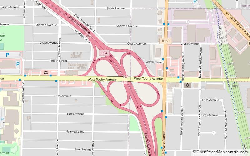
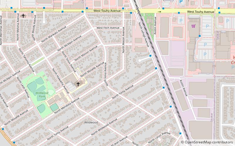
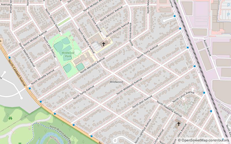
Forest Glen, Chicago
Map
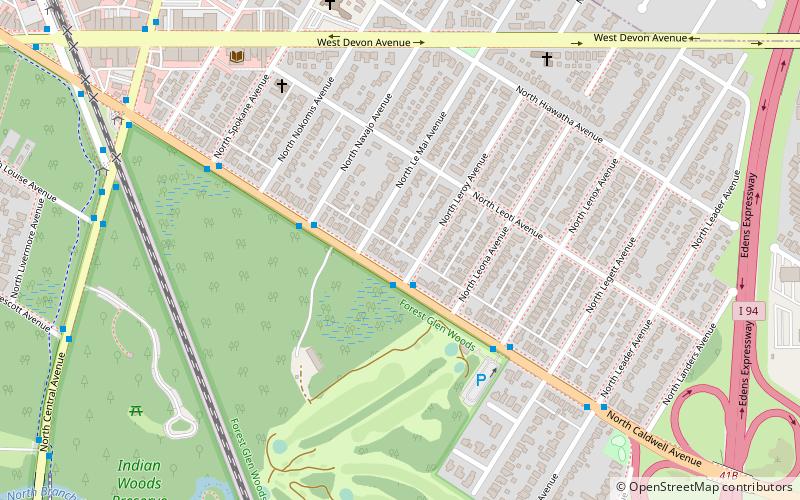
Gallery
Facts and practical information
Forest Glen is one of the 77 official city community areas of Chicago, Illinois, located on the city's Northwest Side. It comprises the neighborhoods of Forest Glen, Edgebrook and Sauganash, with sub-neighborhoods of Sauganash Park, Wildwood, North Edgebrook and Old Edgebrook. ()
Area: 3.21 mi²Coordinates: 41°59'38"N, 87°45'30"W
Address
Far North Side (Forest Glen)Chicago
ContactAdd
Social media
Add
Day trips
Forest Glen – popular in the area (distance from the attraction)
Nearby attractions include: Queen of All Saints Basilica, Touhy Avenue, St. Mary of the Woods Catholic Church, Old Edgebrook District.
Frequently Asked Questions (FAQ)
Which popular attractions are close to Forest Glen?
Nearby attractions include Old Edgebrook District, Chicago (13 min walk), Queen of All Saints Basilica, Chicago (18 min walk), Sauganash, Chicago (23 min walk).
How to get to Forest Glen by public transport?
The nearest stations to Forest Glen:
Bus
Train
Bus
- Caldwell & Leroy EB • Lines: 84 (1 min walk)
Train
- Edgebrook (13 min walk)
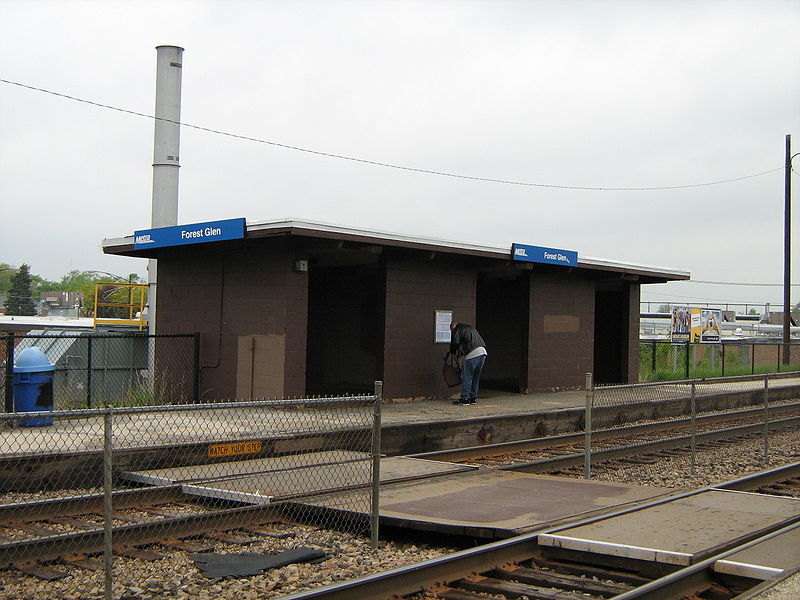
- Forest Glen (28 min walk)

 Rail "L"
