Calvary Cemetery, New York City
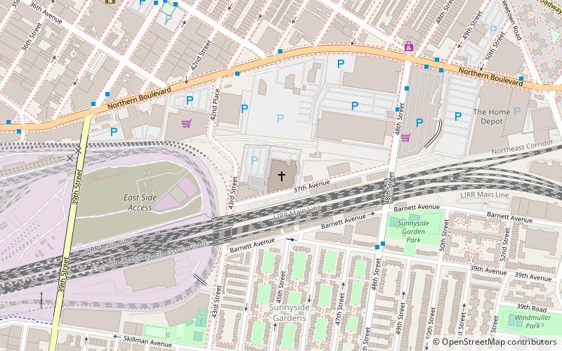
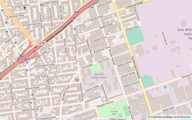
Map
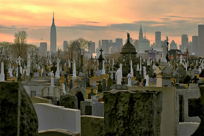
Gallery
Facts and practical information
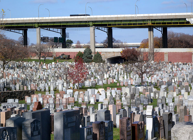
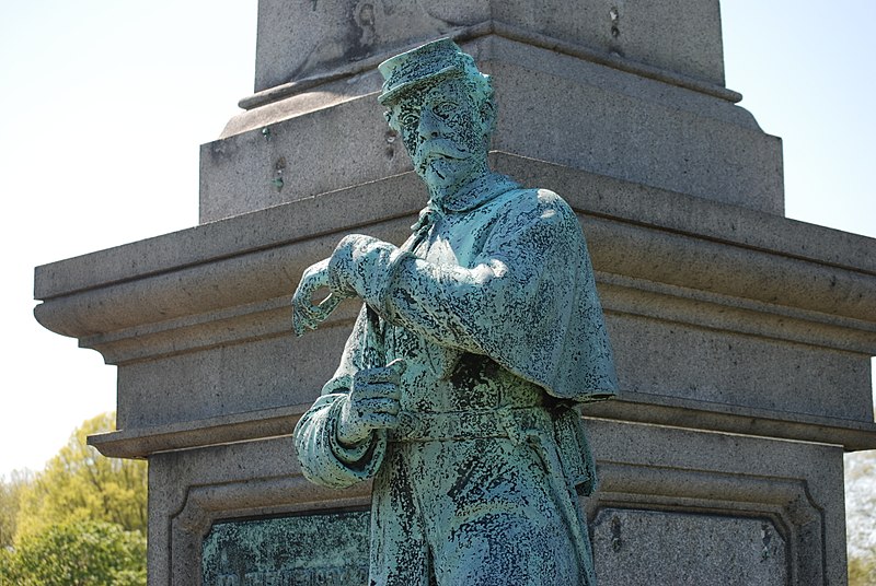
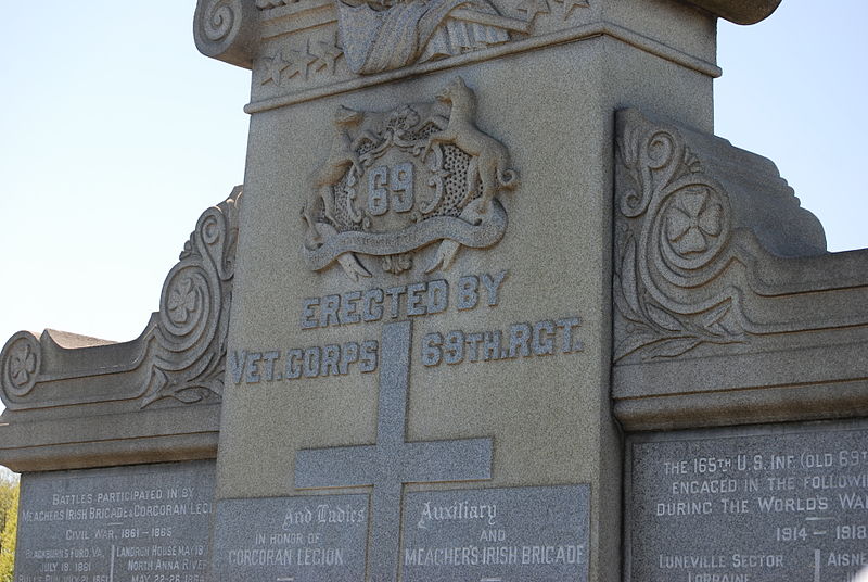
Calvary Cemetery is a Roman Catholic cemetery in Maspeth and Woodside, Queens, in New York City, New York, United States. With about 3 million burials, it has the largest number of interments of any cemetery in the United States. Established in 1848, Calvary Cemetery covers 365 acres and is owned by the Roman Catholic Archdiocese of New York and managed by the Trustees of St. Patrick's Cathedral. ()
Day trips
Calvary Cemetery – popular in the area (distance from the attraction)
Nearby attractions include: Woodside, One Court Square, Kosciuszko Bridge, Greenpoint Avenue Bridge.
Frequently Asked Questions (FAQ)
Which popular attractions are close to Calvary Cemetery?
Nearby attractions include Triangle 54, New York City (7 min walk), Kosciuszko Bridge, New York City (17 min walk), Maspeth, New York City (23 min walk), Sunnyside, New York City (24 min walk).
How to get to Calvary Cemetery by public transport?
The nearest stations to Calvary Cemetery:
Metro
Bus
Train
Metro
- 46th Street–Bliss Street • Lines: 7 (16 min walk)
- 40th Street–Lowery Street • Lines: 7 (18 min walk)
Bus
- 61st Street & Roosevelt Avenue • Lines: Q70 Sbs (30 min walk)
- Roosevelt Avenue & 61st Street • Lines: Q70 Sbs (31 min walk)
Train
- Woodside (31 min walk)



 Subway
 Manhattan Buses


