Doughboy Park, New York City
Map

Map

Facts and practical information
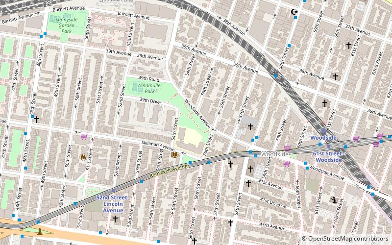
Doughboy Park is a 1.71-acre New York City public park in the Woodside neighborhood of Queens. It is located on a hilly parcel of land between Skillman Avenue and Woodside Avenue, and between 54th Street and 56th Street. ()
Elevation: 85 ft a.s.l.Coordinates: 40°44'47"N, 73°54'32"W
Address
Northwestern Queens (Woodside)New York City
ContactAdd
Social media
Add
Day trips
Doughboy Park – popular in the area (distance from the attraction)
Nearby attractions include: Woodside, Museum of the Moving Image, Moore-Jackson Cemetery, Trinity Lutheran Church.
Frequently Asked Questions (FAQ)
Which popular attractions are close to Doughboy Park?
Nearby attractions include St. Sebastian Roman Catholic Church, New York City (5 min walk), Woodside Community Church, New York City (5 min walk), Woodside, New York City (5 min walk), Sunnyside, New York City (13 min walk).
How to get to Doughboy Park by public transport?
The nearest stations to Doughboy Park:
Metro
Bus
Train
Metro
- 52nd Street–Lincoln Avenue • Lines: 7 (7 min walk)
- 61st Street–Woodside Avenue • Lines: <7>, 7 (8 min walk)
Bus
- 61st Street & Roosevelt Avenue • Lines: Q70 Sbs (8 min walk)
- Northern Boulevard & 56th Street • Lines: Q66 (14 min walk)
Train
- Woodside (8 min walk)

 Subway
 Manhattan Buses


