Randolph Street, Chicago

Gallery (3)
Map
Map
Gallery
Facts and practical information
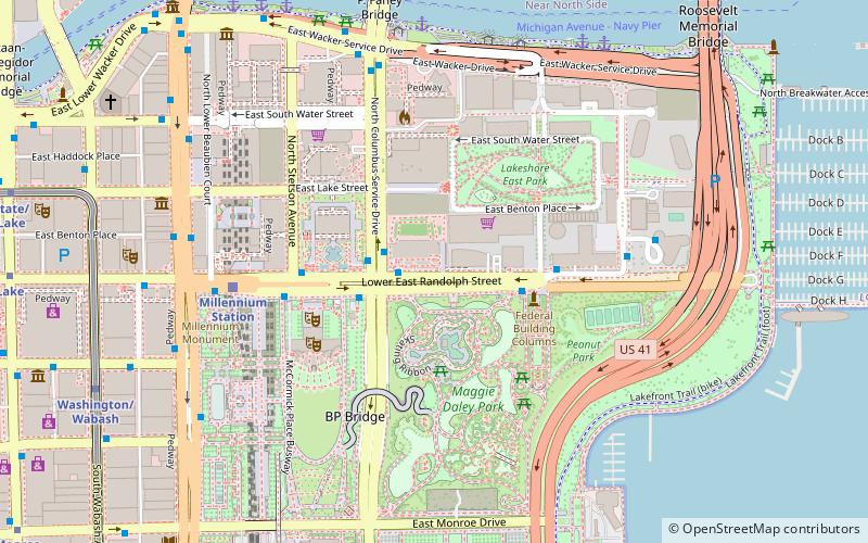
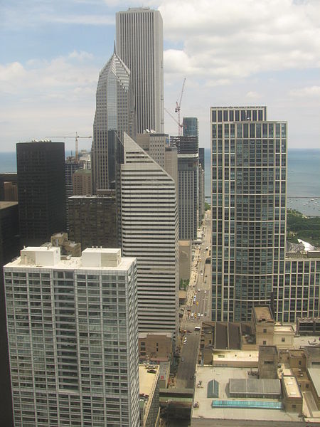
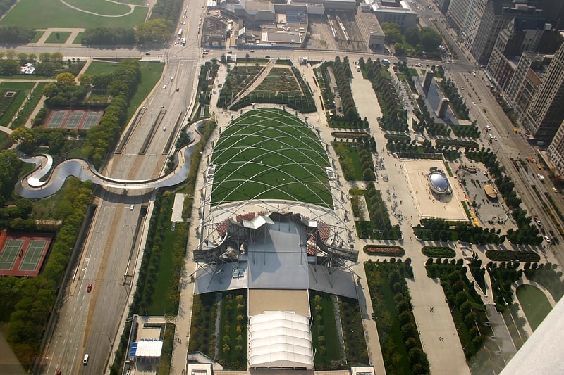
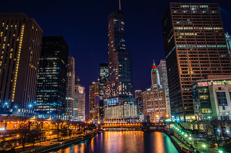
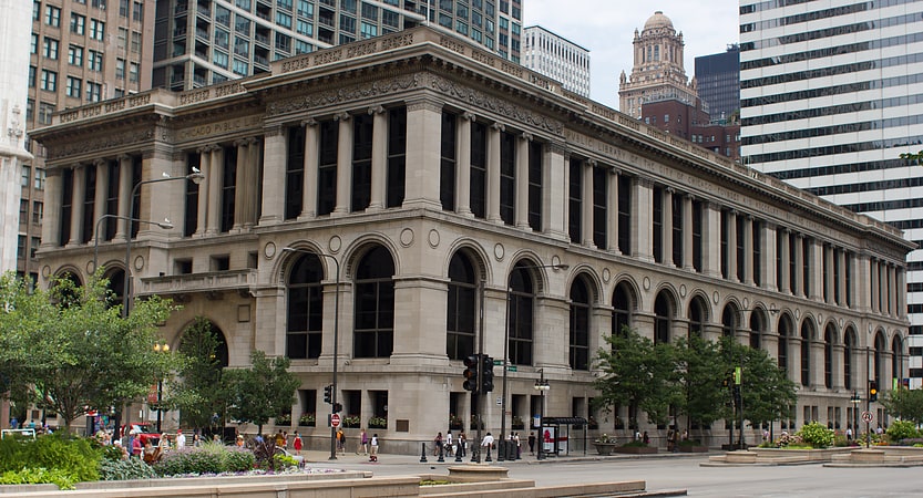
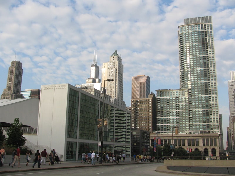
Randolph Street is a street in Chicago. It runs east–west through the Chicago Loop, carrying westbound traffic west from Michigan Avenue across the Chicago River on the Randolph Street Bridge, interchanging with the Kennedy Expressway, and continuing west. It serves as the northern boundary of Grant Park and the Chicago Landmark Historic Michigan Boulevard District. Several large theaters, as well as city and state government buildings are on and adjacent to Randolph. Metra's Millennium Station is located under Randolph Street. ()
Coordinates: 41°53'5"N, 87°37'10"W
Address
Downtown (The Loop)Chicago
ContactAdd
Social media
Add
Getting there by public transportation
Public transportation stops near this location
- Metro
- Bus
- Train
 Metro
Metro
- Calculate routeRandolph & Columbus WB 1 min walk
- Calculate routeColumbus & Randolph 2 min walk
- Calculate routeMillennium Station 6 min walk
- Calculate routeVan Buren Street 15 min walk
- Calculate routeLaSalle Street Station 24 min walk
- Calculate routeOgilvie Transportation Center 28 min walk
- Calculate routeWashington/Wabash 10 min walk
- Calculate routeLake 12 min walk
- Calculate routeState/Lake 12 min walk
- Calculate routeAdams/Wabash 13 min walk
Maps Rail "L"
Rail "L"Day trips
Randolph Street – popular in the area (distance from the attraction)
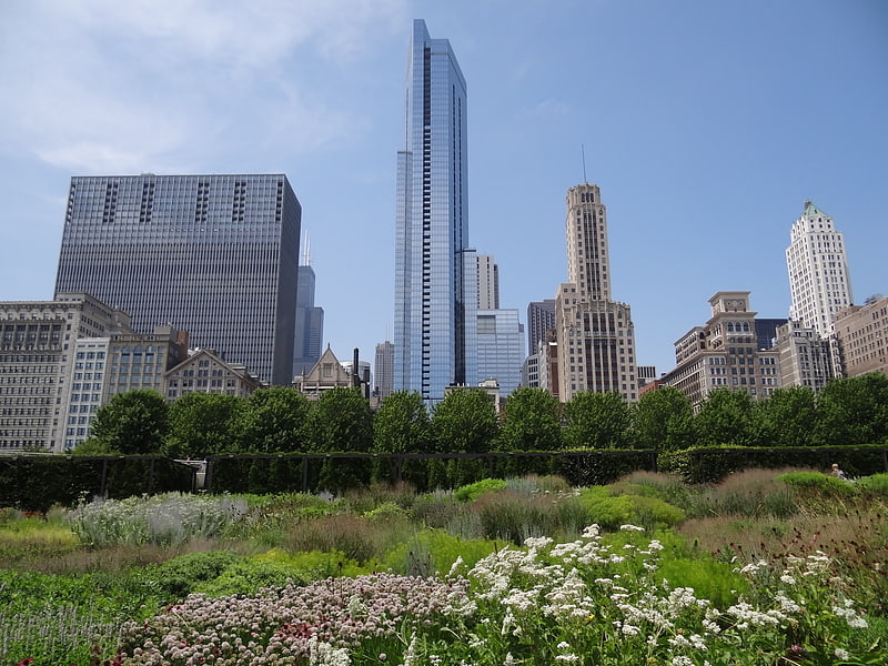
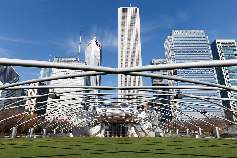
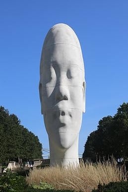
Nearby attractions include: Lurie Garden, Jay Pritzker Pavilion, BP Pedestrian Bridge, Chicago Riverwalk.


Frequently Asked Questions (FAQ)
Which popular attractions are close to Randolph Street?
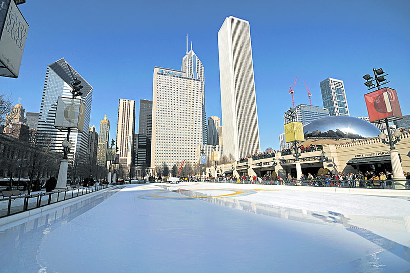
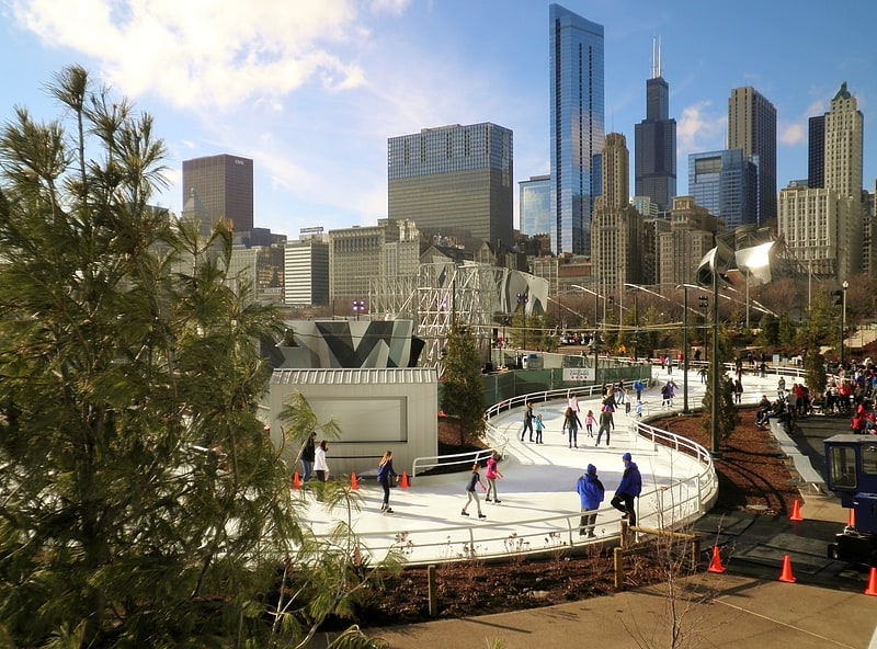
Nearby attractions include Blue Cross Blue Shield Tower, Chicago (1 min walk), 340 on the Park, Chicago (1 min walk), Skating Ribbon, Chicago (2 min walk), The Buckingham, Chicago (3 min walk).
How to get to Randolph Street by public transport?
The nearest stations to Randolph Street:
Bus
Train
Metro
Bus
- Randolph & Columbus WB • Lines: 60 (1 min walk)
- Columbus & Randolph • Lines: 20, 4, (N) N4 (2 min walk)
Train
- Millennium Station (6 min walk)
- Van Buren Street (15 min walk)
Metro
- Washington/Wabash • Lines: Brown, Green, Orange, Pink, Purple (10 min walk)
- Lake • Lines: Red (12 min walk)