Chavez Ravine, Los Angeles
Map
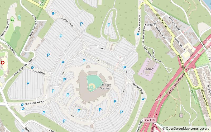
Map

Facts and practical information
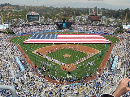
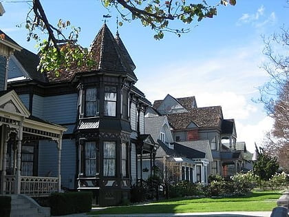
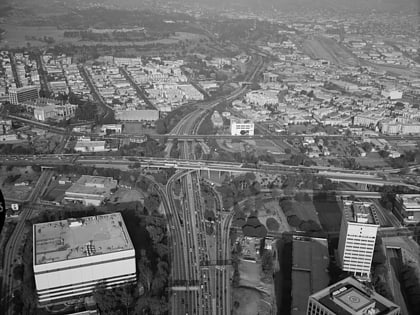
Chavez Ravine is a shallow L-shaped canyon in Los Angeles, California. It sits in a large promontory of hills north of downtown Los Angeles, next to Major League Baseball's Dodger Stadium. Chavez Ravine was named for Julian Chavez, a Los Angeles councilman in the 19th century who originally purchased the land in the Elysian Park area. ()
Coordinates: 34°4'30"N, 118°14'20"W
Day trips
Chavez Ravine – popular in the area (distance from the attraction)
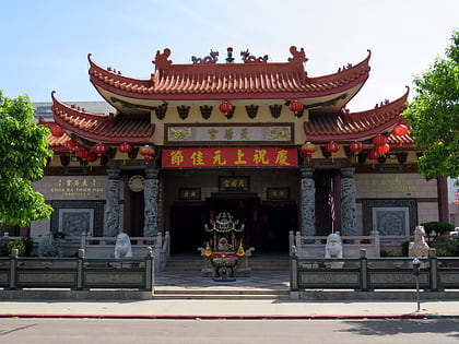
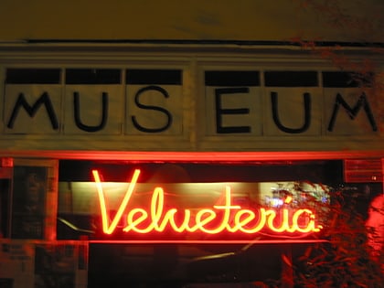
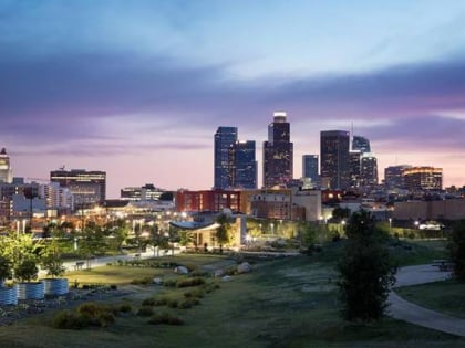
Nearby attractions include: Dodger Stadium, Thien Hau Temple, Velveteria, Los Angeles State Historic Park.
Frequently Asked Questions (FAQ)
Which popular attractions are close to Chavez Ravine?
Nearby attractions include First Jewish site in Los Angeles, Los Angeles (11 min walk), Human Resources Los Angeles, Los Angeles (14 min walk), Chavez Ravine Arboretum, Los Angeles (15 min walk), Zanja Madre, Los Angeles (15 min walk).
How to get to Chavez Ravine by public transport?
The nearest stations to Chavez Ravine:
Bus
Light rail
Bus
- Sunset & Vin Scully • Lines: 4 (19 min walk)
- Metro 76 • Lines: 76 (21 min walk)
Light rail
- Chinatown • Lines: L (21 min walk)
- Lincoln/Cypress • Lines: L (30 min walk)
 Metro & Regional Rail