Downtown West, Minneapolis
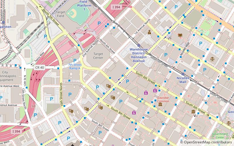
Map
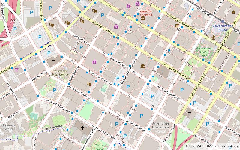
Map

Facts and practical information
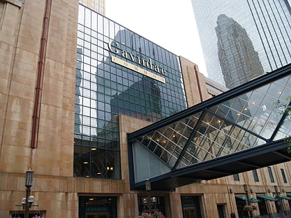
Downtown West is an official neighborhood in Minneapolis, part of the larger Central community. It is the heart of downtown Minneapolis, containing the bulk of high-rise office buildings in the city, and is what comes to mind when most Minneapolitans think of "downtown". ()
Area: 0.76 mi²Coordinates: 44°58'27"N, 93°16'24"W
Address
Central Minneapolis (Downtown West)Minneapolis
ContactAdd
Social media
Add
Day trips
Downtown West – popular in the area (distance from the attraction)
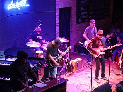
Nearby attractions include: Nicollet Mall, First Avenue, Dakota Jazz Club, Mayo Clinic Square.
Frequently Asked Questions (FAQ)
Which popular attractions are close to Downtown West?
Nearby attractions include Foshay Tower, Minneapolis (3 min walk), IDS Center, Minneapolis (3 min walk), Saint Olaf Catholic Church, Minneapolis (4 min walk), Nicollet Avenue, Minneapolis (4 min walk).
How to get to Downtown West by public transport?
The nearest stations to Downtown West:
Bus
Light rail
Train
Bus
- Marquette Avenue & 9th Street • Lines: 250C, 250M, 270 (1 min walk)
- Marquette Avenue & 10th Street • Lines: 781 (1 min walk)
Light rail
- Nicollet Mall • Lines: 901, 902 (9 min walk)
- Government Plaza • Lines: 901, 902 (11 min walk)
Train
- Target Field (17 min walk)


