South Bay Harbor Trail, Boston

Facts and practical information
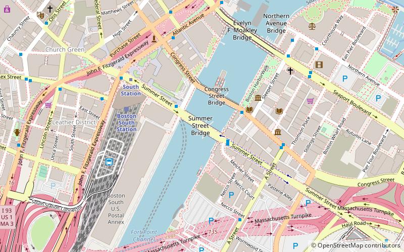
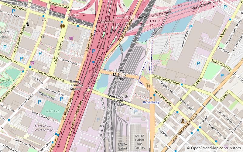
The South Bay Harbor Trail is a mixed-use path in Boston, Massachusetts opened in 2011 The rail trail extends from Ruggles Station along Melnea Cass Boulevard, across Massachusetts Avenue, along Biosquare Drive near the Massachusetts Avenue Connector, under the Southeast Expressway, and connects with the Boston Harborwalk in Rolling Bridge Park on Fort Point Channel. The designation continues with the Harborwalk along the channel until Fan Pier, where showers, lockers, and bike storage will be constructed. ()
South Boston (Columbus Park - Andrew Square)Boston
South Bay Harbor Trail – popular in the area (distance from the attraction)
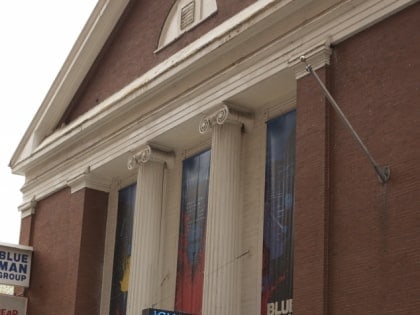
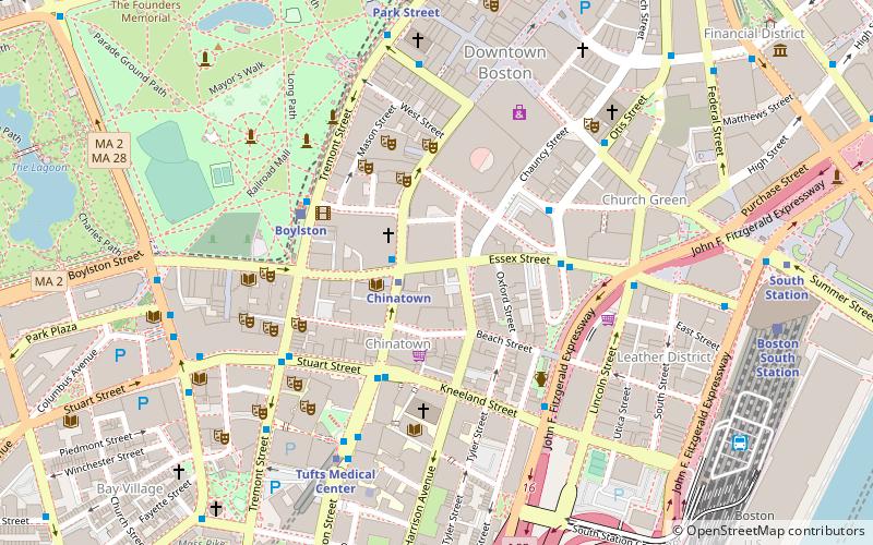
Nearby attractions include: Cathedral of the Holy Cross, Summer Street Bridge, Wilbur Theatre, Cutler Majestic Theatre.
Frequently Asked Questions (FAQ)
Which popular attractions are close to South Bay Harbor Trail?
How to get to South Bay Harbor Trail by public transport?
Bus
- FlixBus Boston • Lines: 2610, N2610 (3 min walk)
- Broadway Station - Red Line • Lines: 11, 9 (4 min walk)
Metro
- Broadway • Lines: Red (4 min walk)
- Tufts Medical Center • Lines: Orange (13 min walk)
Train
- Boston South Station (16 min walk)
- Boston Back Bay (22 min walk)
Light rail
- Boylston • Lines: B, C, D, E (19 min walk)
- Arlington • Lines: B, C, D, E (22 min walk)
 MBTA Subway
