Summer Street Bridge, Boston
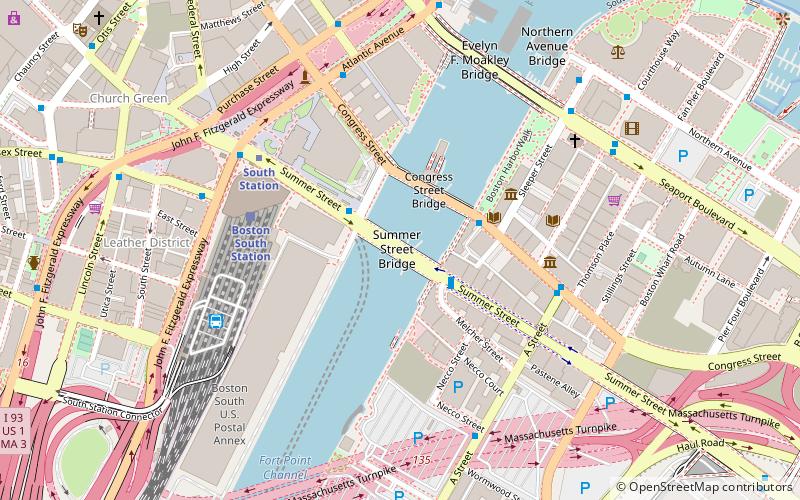
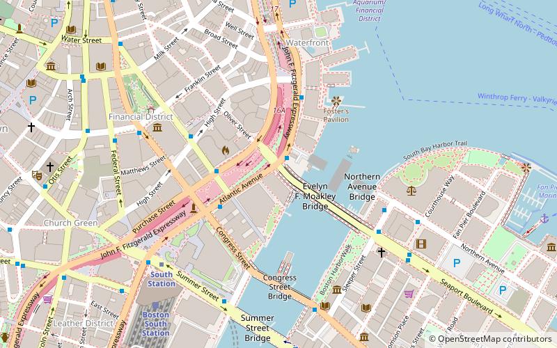
Map
Facts and practical information
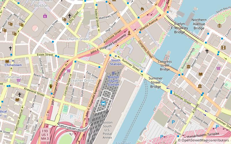
The Summer Street Bridge is a retractile drawbridge bridge built in 1899 in Boston, Massachusetts, over the Fort Point Channel. It still stands, but the draw was welded shut and the motors removed in 1970. It was the site of a terrible streetcar crash on the night of November 7, 1916. When documented by the Historic American Engineering Record in 1984, the Summer Street Bridge was one of only four retractile drawbridges left in the US, two of which were on Summer Street in Boston. The other Summer Street bridge, over Reserved Channel, was replaced in 2003. ()
Coordinates: 42°21'4"N, 71°3'7"W
Address
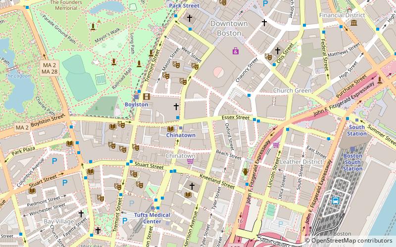
South Boston (Downtown Boston)Boston
ContactAdd
Social media
Add
Getting there by public transportation
Public transportation stops near this location
- Metro
- Bus
- Light rail
- Train
 Metro
Metro
- Calculate routeSummer St opp Melcher St 2 min walk
- Calculate routeSouth Station Bus Terminal 6 min walk
- Calculate routeLincoln St @ Essex St 9 min walk
- Calculate routeFederal St @ Franklin St 10 min walk
- Calculate routeBoston South Station 5 min walk
- Calculate routeBoston North Station 31 min walk
- Calculate routeBoston Back Bay 31 min walk
- Calculate routeSouth Station 5 min walk
- Calculate routeDowntown Crossing 14 min walk
- Calculate routeChinatown 15 min walk
- Calculate routeState 15 min walk
- Calculate routePark Street 17 min walk
- Calculate routeBoylston 17 min walk
- Calculate routeGovernment Center 19 min walk
- Calculate routeHaymarket 22 min walk
Maps MBTA Subway
MBTA SubwayDay trips
Summer Street Bridge – popular in the area (distance from the attraction)
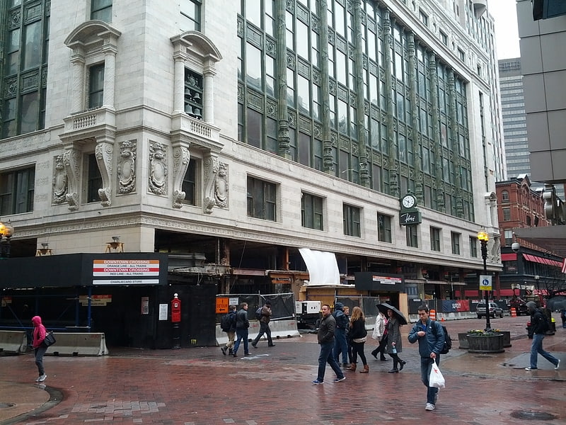
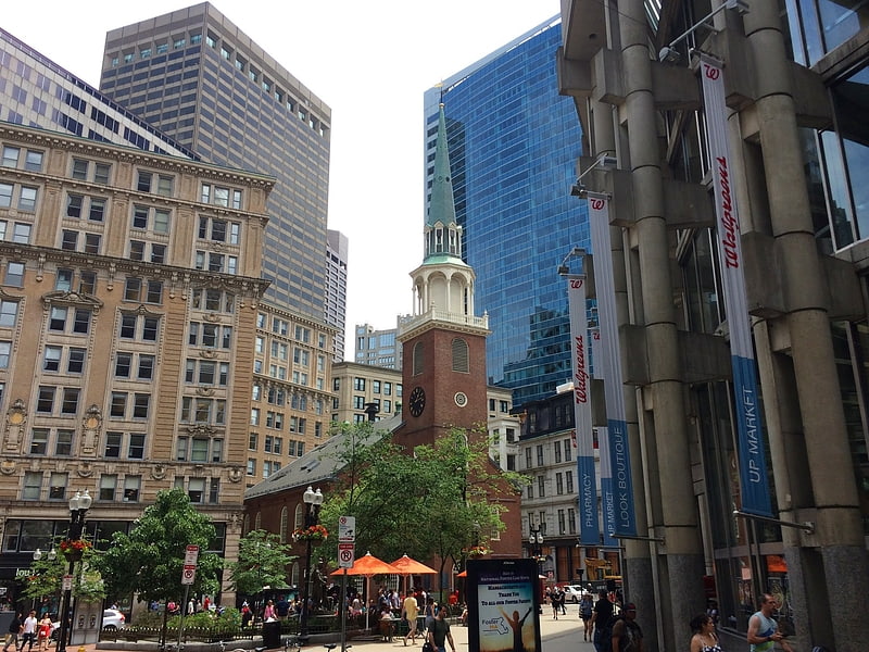
Nearby attractions include: Downtown Crossing, Old South Meeting House, Boston Children's Museum, Evelyn Moakley Bridge.


Frequently Asked Questions (FAQ)
Which popular attractions are close to Summer Street Bridge?
Nearby attractions include Congress Street Grounds, Boston (2 min walk), Fort Point Channel Historic District, Boston (2 min walk), Boston Children's Museum, Boston (4 min walk), Federal Reserve Bank Building, Boston (4 min walk).
How to get to Summer Street Bridge by public transport?
The nearest stations to Summer Street Bridge:
Bus
Train
Metro
Light rail
Bus
- Summer St opp Melcher St • Lines: 7 (2 min walk)
- South Station Bus Terminal (6 min walk)
Train
- Boston South Station (5 min walk)
- Boston North Station (31 min walk)
Metro
- South Station • Lines: Red (5 min walk)
- Downtown Crossing • Lines: Orange, Red (14 min walk)
Light rail
- Park Street • Lines: B, C, D, E (17 min walk)
- Boylston • Lines: B, C, D, E (17 min walk)