Castle Island, Boston
Map
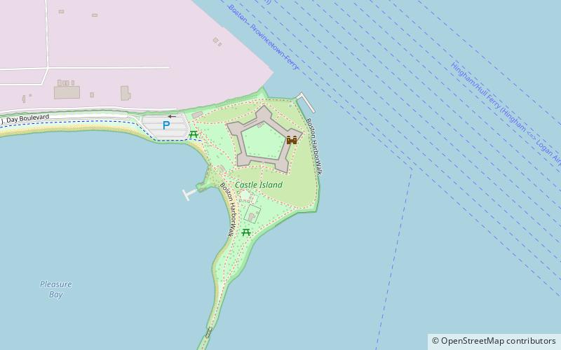
Map

Facts and practical information
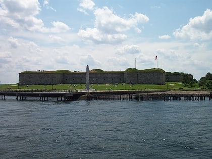
Castle Island is a peninsula in South Boston on the shore of Boston Harbor. In 1928, Castle Island was connected to the mainland by a narrow strip of land and is thus no longer an island. It has been the site of a fortification since 1634, and is currently a 22-acre recreation site and the location of Fort Independence. ()
Address
2010 William J Day BlvdSouth Boston (D Street - West Broadway)Boston 02127
Contact
+1 617-268-5744
Social media
Add
Day trips
Castle Island – popular in the area (distance from the attraction)
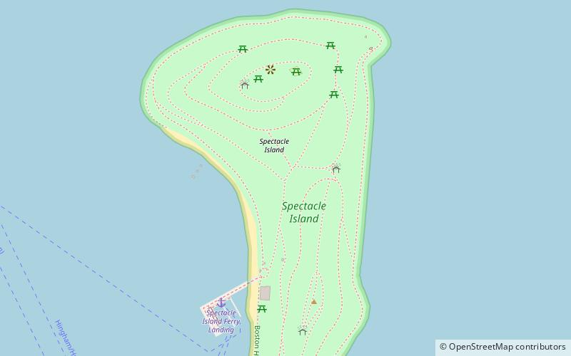
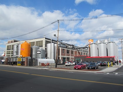
Nearby attractions include: Fort Independence, Spectacle Island, Harpoon Brewery and Beer Hall, Spectacle Island.
Frequently Asked Questions (FAQ)
How to get to Castle Island by public transport?
The nearest stations to Castle Island:
Bus
Bus
- P St @ E 2nd St • Lines: 7, 9 (22 min walk)
- E 1st St @ P St • Lines: 9 (22 min walk)
 MBTA Subway
