Day Boulevard, Boston
Map
Facts and practical information
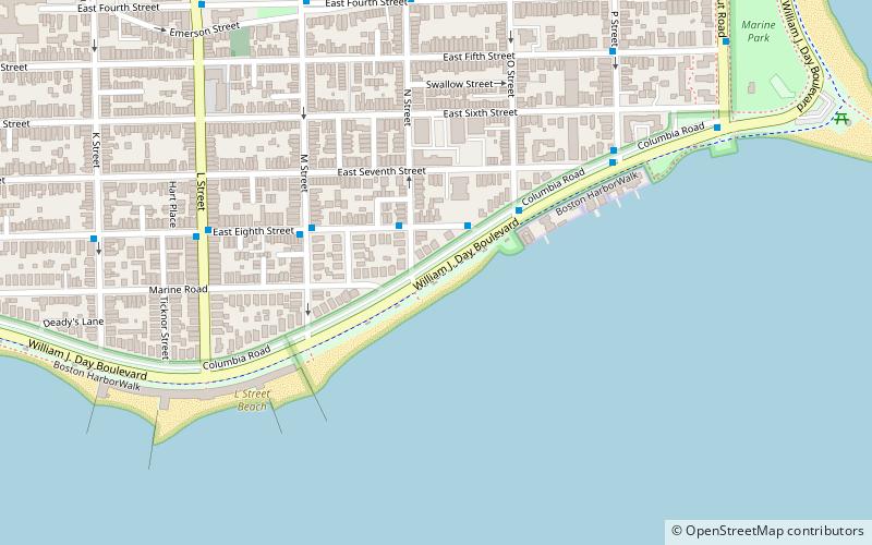
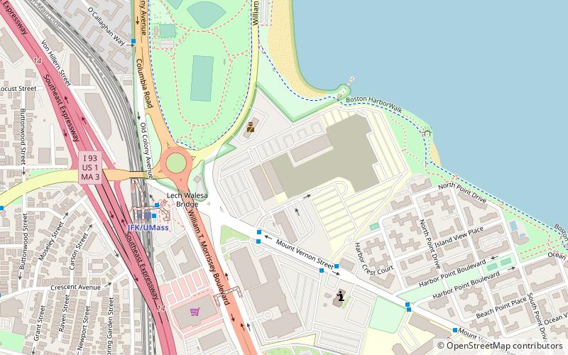
William J. Day Boulevard, or Day Boulevard, is a coastal parkway in Boston, Massachusetts. Beginning at Morrissey Boulevard and Kosciuszko Circle at the northern extent of the Dorchester section of the city, it travels in a gently curving northeasterly direction 2.6 miles through South Boston along beaches around the west and north shore of Dorchester Bay. It was named for William J. Day. ()
Coordinates: 42°19'51"N, 71°1'50"W
Address
South Boston (City Point)Boston
ContactAdd
Social media
Add
Getting there by public transportation
Public transportation stops near this location
- Metro
- Bus
- Train
 Metro
Metro
- Calculate routeE Broadway @ N St 9 min walk
- Calculate routeP St @ E Broadway 10 min walk
- Calculate routeE Broadway @ L St 11 min walk
- Calculate routeL St @ Broadway 11 min walk
- Calculate routeJFK/UMass 34 min walk
- Calculate routeJFK/UMass 34 min walk
Maps MBTA Subway
MBTA SubwayDay trips
Day Boulevard – popular in the area (distance from the attraction)
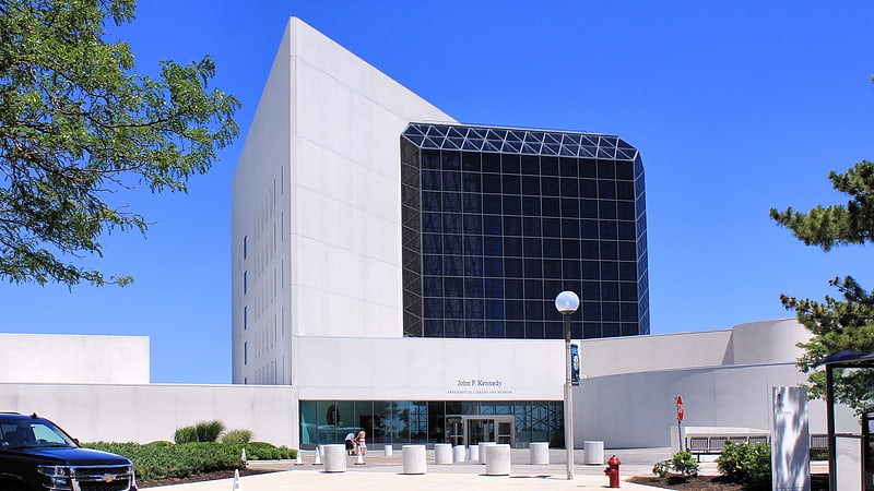
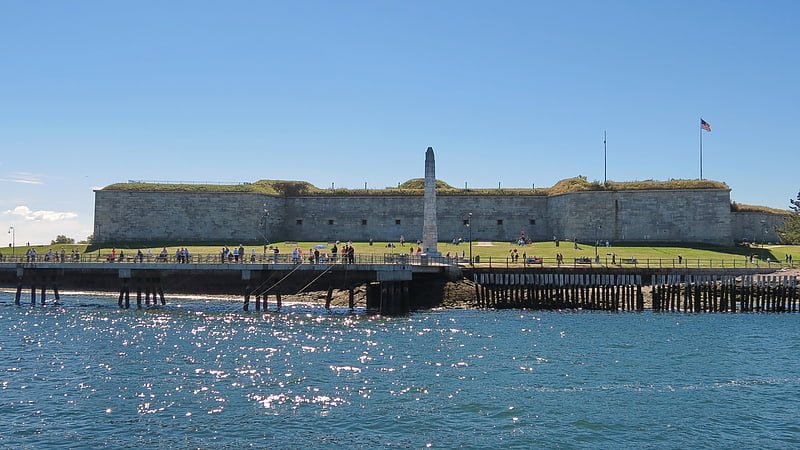
Nearby attractions include: Edward M. Kennedy Institute for the United States Senate, John F. Kennedy Presidential Library and Museum, Fort Independence, Cathedral of St. George Historic District.


Frequently Asked Questions (FAQ)
Which popular attractions are close to Day Boulevard?
Nearby attractions include Arlington Street Church, Boston (15 min walk), Cathedral of St. George Historic District, Boston (19 min walk), Dorchester Heights, Boston (20 min walk), Old Harbor Reservation Parkways, Boston (20 min walk).
How to get to Day Boulevard by public transport?
The nearest stations to Day Boulevard:
Bus
Train
Metro
Bus
- E Broadway @ N St • Lines: 7, 9 (9 min walk)
- P St @ E Broadway • Lines: 7, 9 (10 min walk)
Train
- JFK/UMass (34 min walk)
Metro
- JFK/UMass • Lines: Red (34 min walk)