Ted Williams Tunnel, Boston
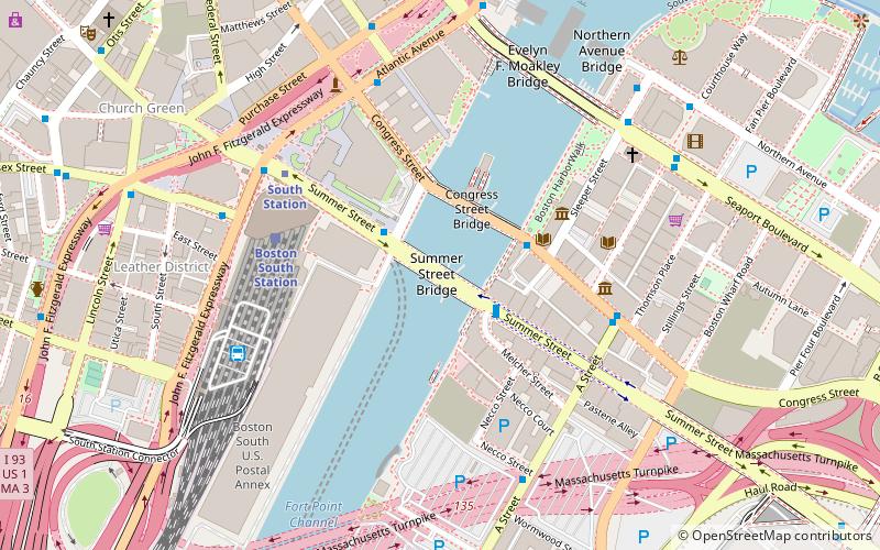
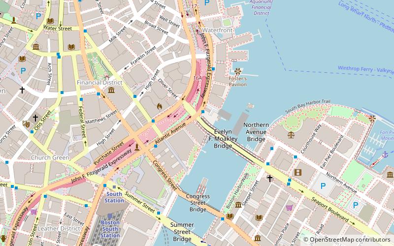
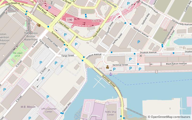
Map
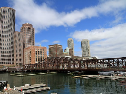
Gallery
Facts and practical information
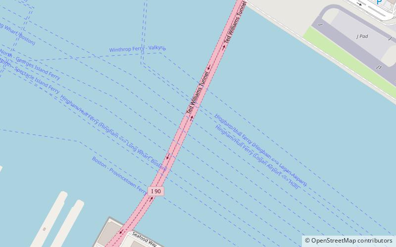
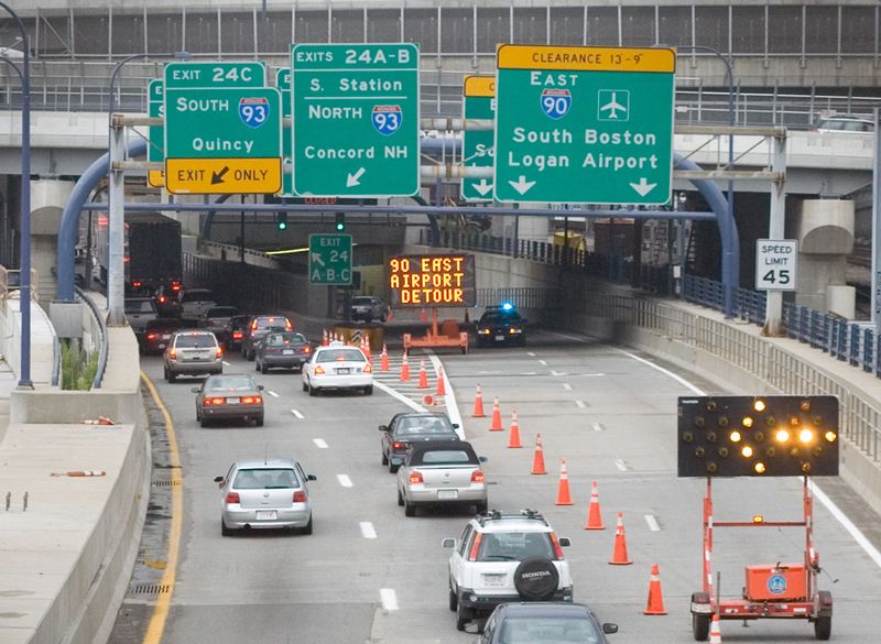
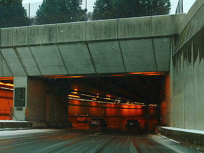
The Ted Williams Tunnel is a highway tunnel in Boston, Massachusetts. The third in the city to travel under Boston Harbor, with the Sumner Tunnel and the Callahan Tunnel, it carries the final segment of Interstate 90 from South Boston towards its eastern terminus at Route 1A in East Boston, slightly beyond Logan International Airport. The tunnel is named after the former Boston Red Sox's baseball legend and U.S. Marine Aviation veteran Ted Williams. ()
Coordinates: 42°21'12"N, 71°1'42"W
Address
Boston
ContactAdd
Social media
Add
Day trips
Ted Williams Tunnel – popular in the area (distance from the attraction)
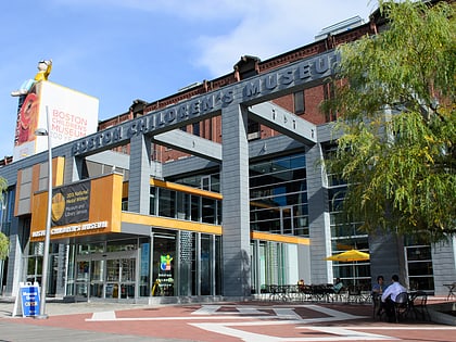
Nearby attractions include: New England Aquarium, Institute of Contemporary Art, Piers Park, Boston Children's Museum.
Frequently Asked Questions (FAQ)
Which popular attractions are close to Ted Williams Tunnel?
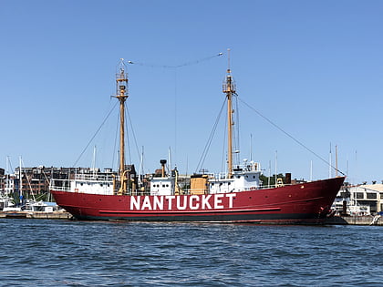
Nearby attractions include Leader Bank Pavilion, Boston (14 min walk), Harpoon Brewery and Beer Hall, Boston (14 min walk), Boston Fish Pier, Boston (17 min walk), United States lightship Nantucket, Boston (17 min walk).
How to get to Ted Williams Tunnel by public transport?
The nearest stations to Ted Williams Tunnel:
Bus
Metro
Bus
- Summer St @ Dry Dock Ave • Lines: 7 (21 min walk)
- E 1st St @ P St • Lines: 9 (27 min walk)
Metro
- Maverick • Lines: Blue (32 min walk)
 MBTA Subway


