Chelsea, Boston
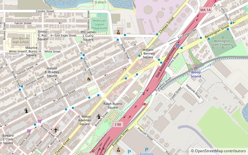
Map
Gallery
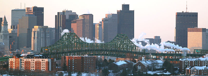
Facts and practical information
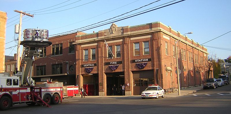
Chelsea is a city in Suffolk County, Massachusetts, United States, directly across the Mystic River from the city of Boston. As of the 2020 census, Chelsea had a population of 40,787. With a total area of just 2.46 square miles, Chelsea is the smallest city in Massachusetts in terms of total area. It is the second most densely populated city in Massachusetts, behind Somerville, and is the city with the second-highest percentage of Latino residents in Massachusetts, behind Lawrence. ()
Day trips
Chelsea – popular in the area (distance from the attraction)
Nearby attractions include: Boston Navy Yard, Constitution Beach, Day Square, Revere City Hall and Police Station.
Frequently Asked Questions (FAQ)
Which popular attractions are close to Chelsea?
Nearby attractions include Bellingham Square Historic District, Boston (3 min walk), Chelsea Garden Cemetery, Boston (3 min walk), St. Stanislaus Bishop & Martyr's Parish, Boston (6 min walk), Congregation Agudath Shalom, Boston (6 min walk).
How to get to Chelsea by public transport?
The nearest stations to Chelsea:
Train
Metro
Train
- Chelsea station (16 min walk)
Metro
- Wood Island • Lines: Blue (26 min walk)



 MBTA Subway

