Armatage, Minneapolis
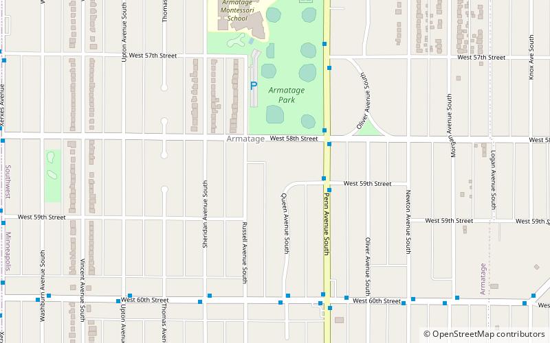
Map
Facts and practical information
Armatage is a neighborhood in the Southwest community in Minneapolis. In the city's southwest corner, the neighborhood is bounded on the north by 54th Street West, on the east by Logan Avenue South, on the south by Highway 62, and on the west by the city limits at Xerxes Avenue South. The neighborhood grew around the school named for Maude Armatage, a distinguished community leader. Armatage is built up with mostly single-family housing and some multifamily buildings. The neighborhood also has a park with a community center. ()
Area: 0.74 mi²Coordinates: 44°53'50"N, 93°18'37"W
Day trips
Armatage – popular in the area (distance from the attraction)
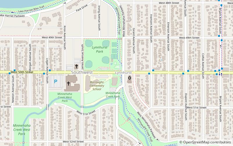
Nearby attractions include: Southdale Center, Washburn Library, France Avenue, Lynnhurst.
Frequently Asked Questions (FAQ)
Which popular attractions are close to Armatage?
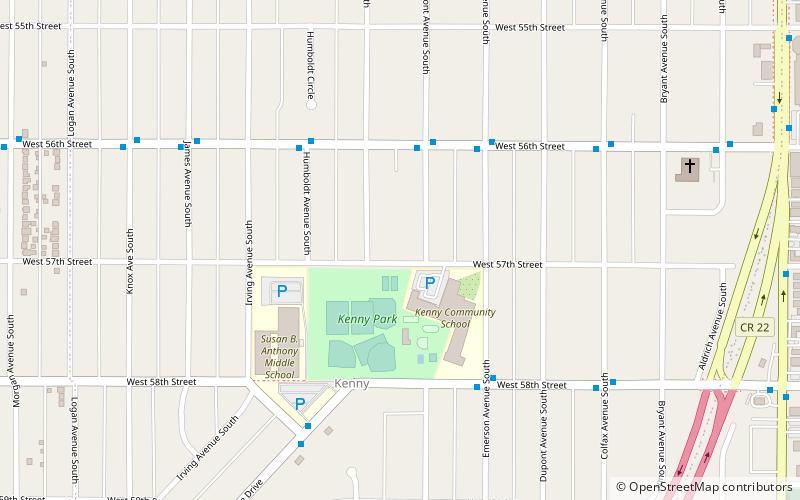
Nearby attractions include Kenny, Minneapolis (18 min walk), France Avenue, Minneapolis (24 min walk).
How to get to Armatage by public transport?
The nearest stations to Armatage:
Bus
Bus
- Queen Av S • Lines: 4P (2 min walk)
- 59 St W • Lines: 4, 4B, 4G (3 min walk)


