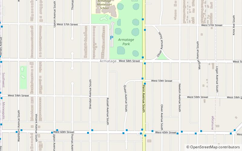
France Avenue, Minneapolis
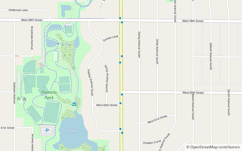
Map
Facts and practical information
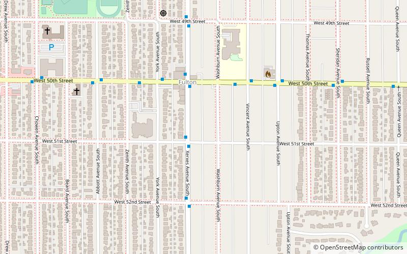
France Avenue is a major street in Minneapolis, Edina, and Bloomington, with shorter segments in several other suburbs in the Minneapolis–Saint Paul metro area. ()
Coordinates: 44°53'43"N, 93°19'44"W
Address
Pamela ParkMinneapolis
ContactAdd
Social media
Add
Day trips
France Avenue – popular in the area (distance from the attraction)
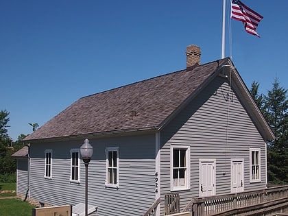
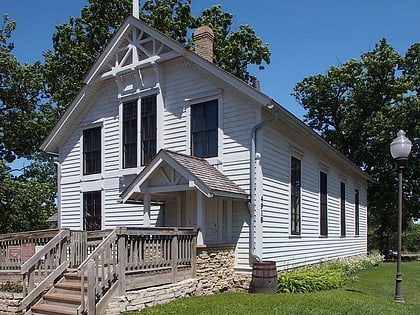
Nearby attractions include: Southdale Center, Cahill School, Minnehaha Grange Hall, Lake Cornelia.
Frequently Asked Questions (FAQ)
Which popular attractions are close to France Avenue?
Nearby attractions include Lake Cornelia, Edina (24 min walk), Armatage, Minneapolis (24 min walk).
How to get to France Avenue by public transport?
The nearest stations to France Avenue:
Bus
Bus
- 60 St W • Lines: 4, 4B, 4G, 4P (26 min walk)
- Queen Av S • Lines: 4P (26 min walk)

