City Hall, St. Louis
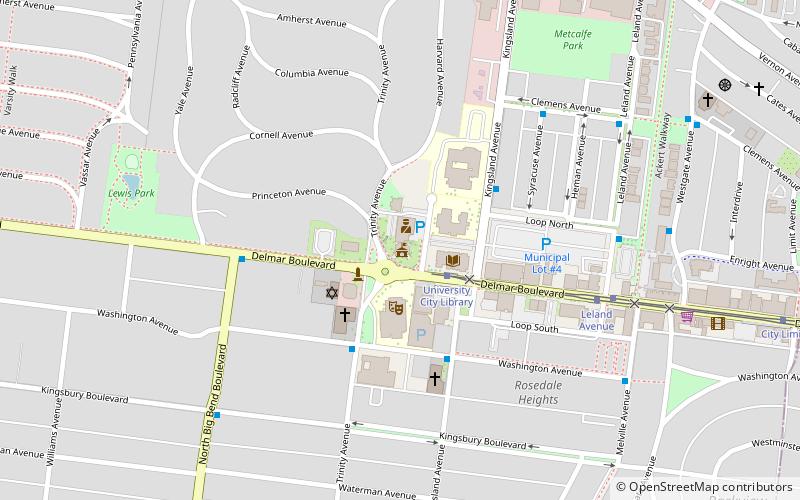
Map

Map

Facts and practical information
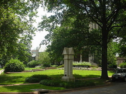
The City Hall of University City, Missouri, the seat of municipal government for University City, Missouri, was built in 1903 as the Woman's Magazine Building, the headquarters of a magazine publishing company, and became a city hall in 1930. The building is part of the University City Plaza, which was added to the National Register of Historic Places on March 7, 1975. ()
Built: 1902 (124 years ago)Coordinates: 38°39'25"N, 90°18'37"W
Address
6801 Delmar BlvdUniversity CitySt. Louis 63130-3104
Contact
+1 314-862-6767
Social media
Add
Day trips
City Hall – popular in the area (distance from the attraction)
Nearby attractions include: The Pageant, Saint Louis Art Museum, Apotheosis of St. Louis, Delmar Loop.
Frequently Asked Questions (FAQ)
Which popular attractions are close to City Hall?
Nearby attractions include University City Public Library, St. Louis (2 min walk), Delmar Loop–Parkview Gardens Historic District, St. Louis (9 min walk), Delmar Loop, St. Louis (10 min walk), Washington University in St. Louis, St. Louis (13 min walk).
How to get to City Hall by public transport?
The nearest stations to City Hall:
Tram
Bus
Light rail
Tram
- University City Library • Lines: Loop Trolley (2 min walk)
- Leland Avenue • Lines: Loop Trolley (7 min walk)
Bus
- 560 Music Center Loop at Washington • Lines: 5 (4 min walk)
- Delmar at Big Bend EB • Lines: 5 (5 min walk)
Light rail
- University City-Big Bend • Lines: Blue (12 min walk)
- Skinker • Lines: Blue (20 min walk)


