Nye Block, Johnson
Map

Map

Facts and practical information
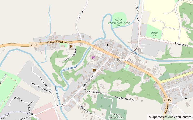
The Nye Block, also known as the Johnson Landmark Building, was a historic commercial building at Main and Railroad Streets in Johnson, Vermont. Built in 1868, it was an elaborate example of Second Empire architecture, occupying a prominent position in the town center. It was destroyed by an arsonist in 1986. It was listed on the National Register of Historic Places in 1977. ()
Built: 1868 (158 years ago)Coordinates: 44°38'7"N, 72°40'54"W
Address
Johnson
ContactAdd
Social media
Add
Day trips
Nye Block – popular in the area (distance from the attraction)
Nearby attractions include: Power House Covered Bridge, Scribner Covered Bridge, Lamoille County Players, Copley Country Club.
Frequently Asked Questions (FAQ)
Which popular attractions are close to Nye Block?
Nearby attractions include Bridge 6, Johnson (5 min walk), Power House Covered Bridge, Johnson (15 min walk), Johnson State College, Johnson (18 min walk).


