Francis Scott Key Memorial, Washington D.C.
Map

Map

Facts and practical information
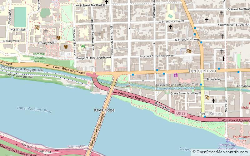
Francis Scott Key Memorial is a park and memorial located in the District of Columbia neighborhood of Georgetown; at the intersection of 34th and M Streets, NW. This 0.77 acre site is administered by the National Park Service as a part of Rock Creek Park, but is not contiguous with that park. Situated adjacent to the northeast corner of the Francis Scott Key Bridge, the park abuts to Chesapeake and Ohio Canal Towpath. ()
Elevation: 59 ft a.s.l.Coordinates: 38°54'17"N, 77°4'5"W
Day trips
Francis Scott Key Memorial – popular in the area (distance from the attraction)
Nearby attractions include: Georgetown Park, Jesuit Community Cemetery, Old Stone House, Key Bridge.
Frequently Asked Questions (FAQ)
Which popular attractions are close to Francis Scott Key Memorial?
Nearby attractions include Georgetown Car Barn, Washington D.C. (3 min walk), Potomac Boat Club, Washington D.C. (4 min walk), Exorcist Steps, Washington D.C. (4 min walk), Dahlgren Chapel of the Sacred Heart, Washington D.C. (5 min walk).
How to get to Francis Scott Key Memorial by public transport?
The nearest stations to Francis Scott Key Memorial:
Bus
Metro
Bus
- Lee Hwy at N Nash St • Lines: 55 (12 min walk)
- FlixBus Rosslyn • Lines: 2601 (15 min walk)
Metro
- Rosslyn • Lines: Bl, Or, Sv (16 min walk)
- Foggy Bottom–GWU • Lines: Bl, Or, Sv (26 min walk)


