Congregation Kol Emes, Richmond
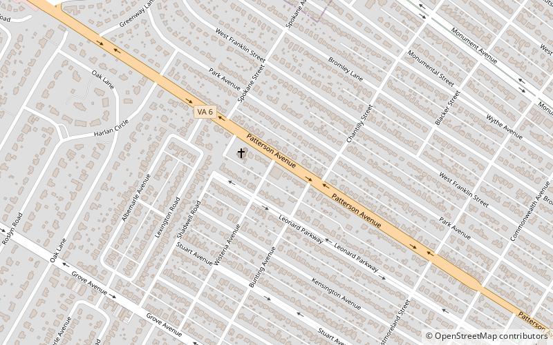
Map
Facts and practical information
Congregation Kol Emes also known as Young Israel of Richmond is an Orthodox Jewish synagogue in Richmond, Virginia, constituted and founded in its present state in 1964. ()
Coordinates: 37°34'18"N, 77°30'4"W
Address
Near West End (Colonial Place)Richmond
ContactAdd
Social media
Add
Getting there by public transportation
Public transportation stops near this location
- Bus
 Bus
Bus
- Calculate routePatterson + Malvern 20 min walk
Day trips


Frequently Asked Questions (FAQ)
Which popular attractions are close to Congregation Kol Emes?
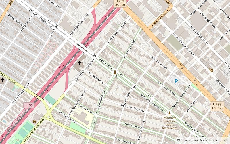
Nearby attractions include Reveille, Richmond (21 min walk), Malvern Gardens, Richmond (22 min walk), Markel Building, Richmond (23 min walk).
How to get to Congregation Kol Emes by public transport?
The nearest stations to Congregation Kol Emes:
Bus
Bus
- Patterson + Malvern • Lines: 76 (20 min walk)