Westchester Square, New York City
Map

Gallery

Facts and practical information
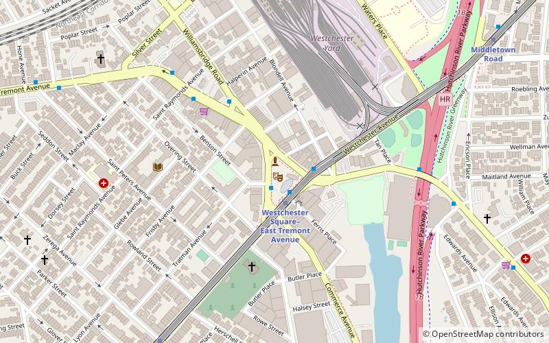
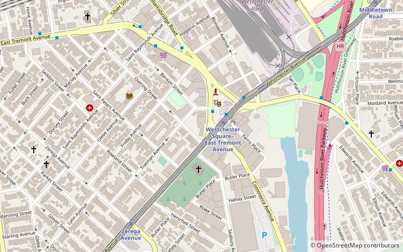
Westchester Square is a residential neighborhood geographically located in the eastern section of the New York City borough of the Bronx. Its boundaries, starting from the north and moving clockwise are: East Tremont Avenue and Silver Street, Blondell Avenue and Westchester Creek to the east, Waterbury Avenue to the south and Castle Hill Avenue to the west. The main roadways through Westchester Square are East Tremont Avenue, Westchester Avenue and Williamsbridge Road. ()
Coordinates: 40°50'27"N, 73°50'35"W
Day trips
Westchester Square – popular in the area (distance from the attraction)
Nearby attractions include: St. Raymond's Church, St. Helena's Church, Bruckner Interchange, St. Clare of Assisi's Church.
Frequently Asked Questions (FAQ)
Which popular attractions are close to Westchester Square?
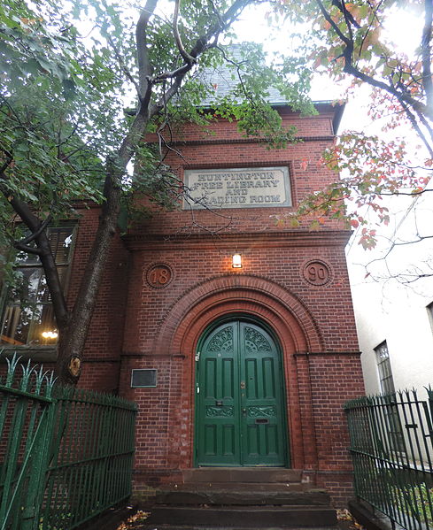
Nearby attractions include Huntington Free Library and Reading Room, New York City (2 min walk), St. Raymond's Church, New York City (15 min walk), St. Helena's Church, New York City (20 min walk), Bruckner Interchange, New York City (22 min walk).
How to get to Westchester Square by public transport?
The nearest stations to Westchester Square:
Metro
Bus
Metro
- Westchester Square–East Tremont Avenue • Lines: <6>, 6 (2 min walk)
- Zerega Avenue • Lines: <6>, 6 (10 min walk)
Bus
- East Tremont Avenue & Dogwood Drive • Lines: Bx40, Bx42 (25 min walk)
- Unionport Road & East Tremont Avenue • Lines: Bx22 (27 min walk)

 Subway
 Manhattan Buses


