Upper North Philadelphia, Philadelphia
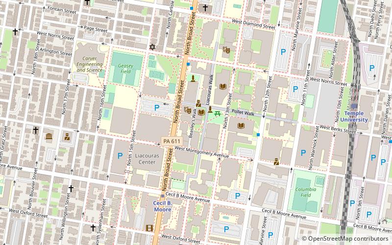
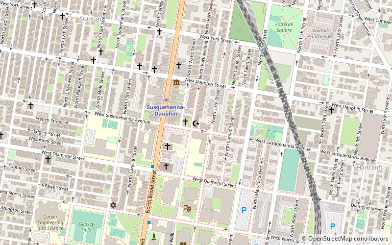
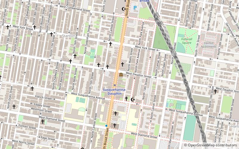
Map
Map

Facts and practical information
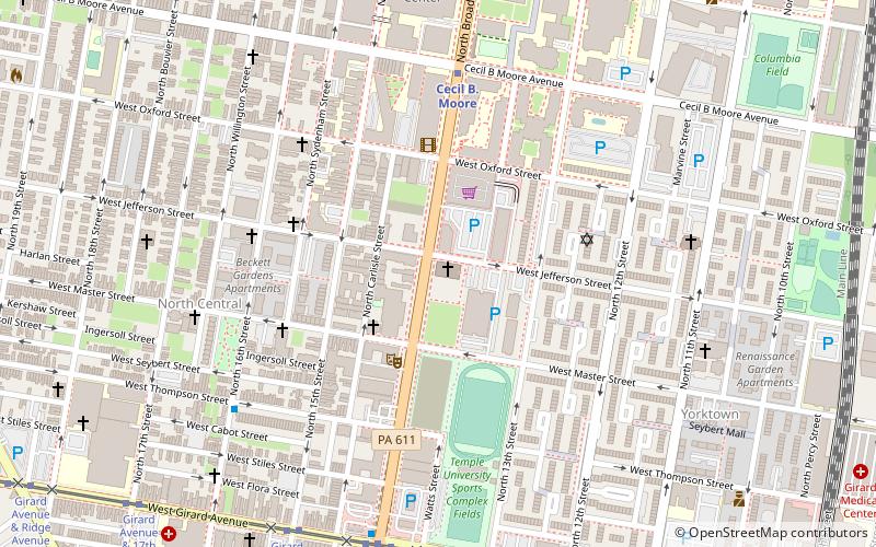
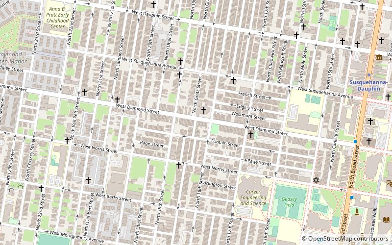
Upper North Philadelphia is a section of Philadelphia that is immediately north of Lower North Philadelphia, and can be described as an area that has a "...large and rapidly growing Puerto Rican population". ()
Area: 44.4 mi²Coordinates: 39°59'8"N, 75°9'49"W
Address
Lower North (North Central)Philadelphia
ContactAdd
Social media
Add
Day trips
Upper North Philadelphia – popular in the area (distance from the attraction)
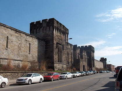
Nearby attractions include: Eastern State Penitentiary, Edwin Forrest House, Wagner Free Institute of Science, Temple University.
Frequently Asked Questions (FAQ)
Which popular attractions are close to Upper North Philadelphia?
Nearby attractions include Church of the Advocate, Philadelphia (1 min walk), Union Methodist Episcopal Church, Philadelphia (6 min walk), Lower North Philadelphia, Philadelphia (9 min walk), Wagner Free Institute of Science, Philadelphia (9 min walk).
How to get to Upper North Philadelphia by public transport?
The nearest stations to Upper North Philadelphia:
Metro
Train
Tram
Metro
- Susquehanna-Dauphin • Lines: Bsl (11 min walk)
- Cecil B. Moore • Lines: Bsl (15 min walk)
Train
- North Broad (18 min walk)
- Temple University (21 min walk)
Tram
- Girard Avenue & Ridge Avenue • Lines: 15 (24 min walk)

 SEPTA Regional Rail