Linnton, Portland

Map
Facts and practical information
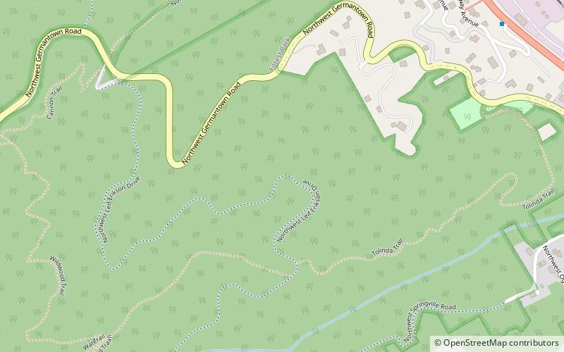
Linnton is a Portland, Oregon neighborhood located between Forest Park and the Willamette River along U.S. Route 30, close to the agricultural community of Sauvie Island. It borders the neighborhoods of Northwest Industrial on the south, St. Johns and Cathedral Park via the St. Johns Bridge across the Willamette on the east, and Forest Park on the west. The neighborhood extends north somewhat beyond Portland city limits into unincorporated Multnomah County, ending at the Sauvie Island Bridge. ()
Coordinates: 45°35'12"N, 122°47'6"W
Day trips
Linnton – popular in the area (distance from the attraction)
Nearby attractions include: St. Johns Bridge, Cathedral Park, Burlington Northern Railroad Bridge 5.1, Pier Park.
Frequently Asked Questions (FAQ)
How to get to Linnton by public transport?
The nearest stations to Linnton:
Bus
Bus
- Northwest Saint Helens & Harbor • Lines: 16 (11 min walk)
- 9400 Block Northwest Saint Helens • Lines: 16 (12 min walk)


