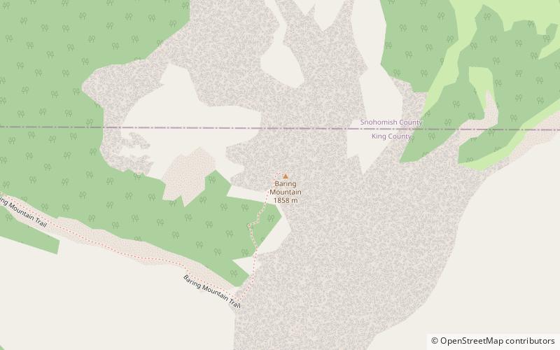
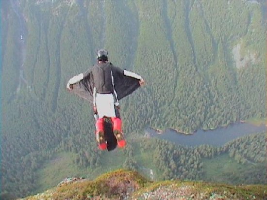
Baring Mountain, Wild Sky Wilderness

Gallery (3)
Map
Map
Gallery
Facts and practical information
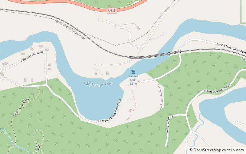
Baring Mountain, is a peak in the central part of the Cascade Range of Washington, United States. It lies about 2 metres northeast of the Skykomish River and US Highway 2, at the western edge of the Cascades in the Mount Baker-Snoqualmie National Forest. It is about 6 miles east of Mount Index and Barclay Lake at its base is accessible via Forest Road 6024 and a 2.2-mile hike. ()
First ascent: 1897Elevation: 6127 ftProminence: 2445 ftCoordinates: 47°46'45"N, 121°26'10"W
Address
Wild Sky Wilderness
ContactAdd
Social media
Add
Day trips