El Cerrito, Berkeley

Gallery (1)
Map

Map
Facts and practical information
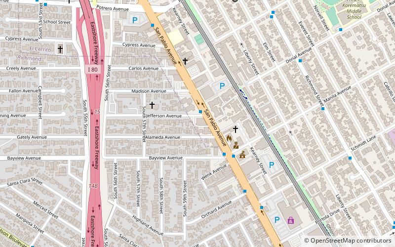
El Cerrito is a city in Contra Costa County, California, United States, and forms part of the San Francisco Bay Area. It has a population of 25,962 according to the 2020 census. El Cerrito was founded by refugees from the 1906 San Francisco earthquake. It was incorporated in 1917 as a village with 1,500 residents. As of the census in 2000, there were 23,171 people, 10,208 households and 5,971 families in the city. ()
Getting there by public transportation
Public transportation stops near this location
- Metro
- Bus
 Metro
Metro
- Calculate routeSan Pablo Avenue & Moeser Lane 13 min walk
- Calculate routeSan Pablo Avenue & Schmidt Lane 14 min walk
- Calculate routeEl Cerrito Plaza 23 min walk
Day trips


Frequently Asked Questions (FAQ)
Which popular attractions are close to El Cerrito?
Nearby attractions include Playland-Not-At-The-Beach, Berkeley (17 min walk), Blake Garden, Berkeley (23 min walk), William Rust Summit, Berkeley (24 min walk).
How to get to El Cerrito by public transport?
The nearest stations to El Cerrito:
Bus
Metro
Bus
- San Pablo Avenue & Moeser Lane • Lines: 72, 72M, 72R, 800 (13 min walk)
- San Pablo Avenue & Schmidt Lane • Lines: 72, 72M, 800 (14 min walk)
Metro
- El Cerrito Plaza • Lines: Orange, Red (23 min walk)