Point Isabel Regional Shoreline, Richmond

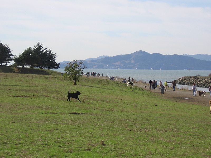
Gallery (2)
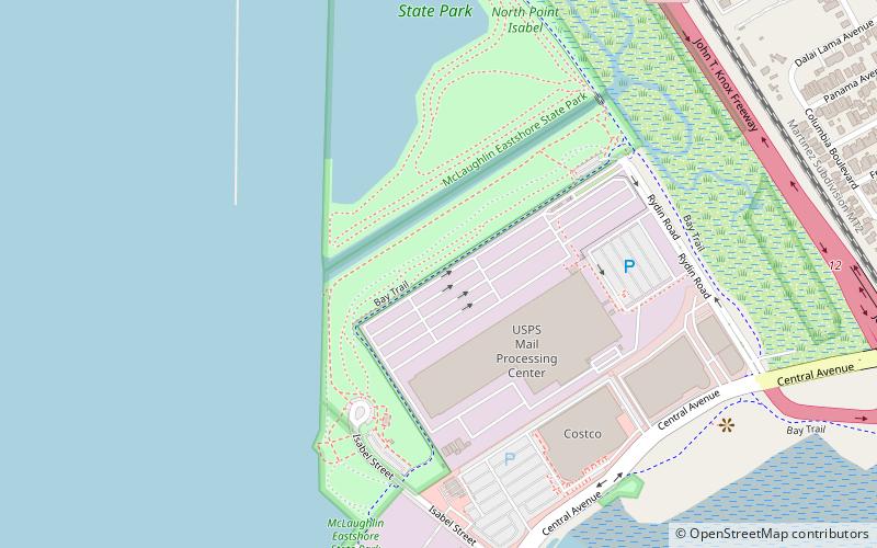
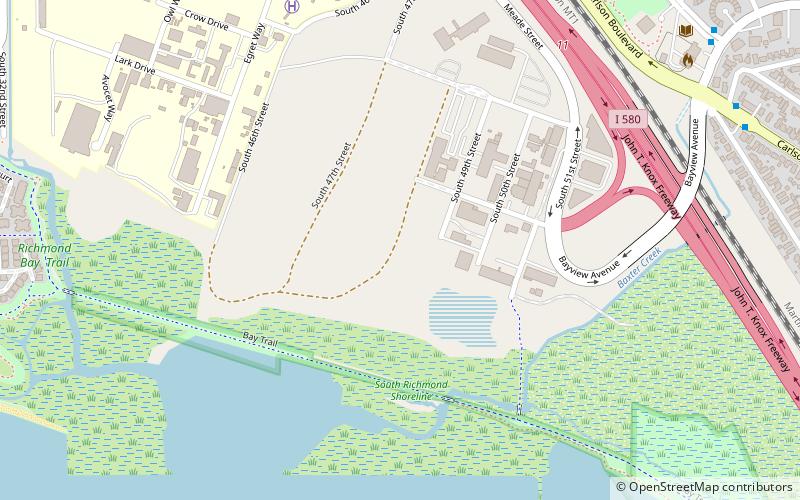
Map
Map
Gallery
Facts and practical information
Point Isabel Regional Shoreline in Richmond, California, is operated by East Bay Regional Park District, and is a multi-use park for joggers, windsurfers, kayakers, photographers, picnickers, and people walking dogs. It has access for pedestrians and via public transit, private vehicles, and bikes. It also features a concession offering food for people and grooming for pets. A longtime community organization and nonprofit, Point Isabel Dog Owners and Friends, is active in the maintenance and improvement of the park. ()
Created: 1975Visitors per year: 1.4 mil.Elevation: 7 ft a.s.l.Coordinates: 37°54'5"N, 122°19'23"W
Address
2701 Isabel StSouthwest Richmond AnnexRichmond 94804-5807
Contact
+1 888-327-2757
Social media
Getting there by public transportation
Public transportation stops near this location
- Bus
 Bus
Bus
- Calculate routeCarlson Boulevard & San Luis Street 19 min walk
- Calculate routePierce Street & Central Avenue 19 min walk
- Calculate routeCentral Avenue & Pierce Street 19 min walk
Day trips


Frequently Asked Questions (FAQ)
Which popular attractions are close to Point Isabel Regional Shoreline?
Nearby attractions include Hoffman Marsh, Richmond (9 min walk), Albany Bulb, Berkeley (21 min walk), Campus Bay, Richmond (21 min walk).
How to get to Point Isabel Regional Shoreline by public transport?
The nearest stations to Point Isabel Regional Shoreline:
Bus
Bus
- Carlson Boulevard & San Luis Street • Lines: 71 (19 min walk)
- Pierce Street & Central Avenue • Lines: 80 (19 min walk)