Emeryville, Oakland

Gallery (5)
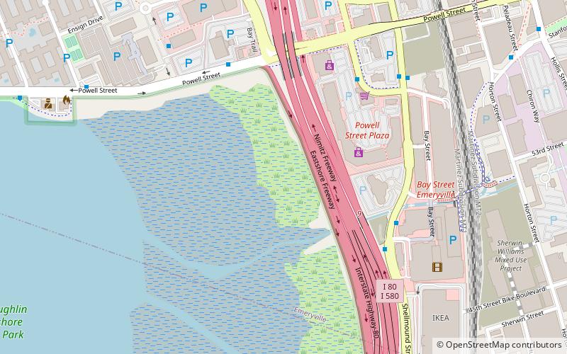
Map


Map

Gallery
Facts and practical information
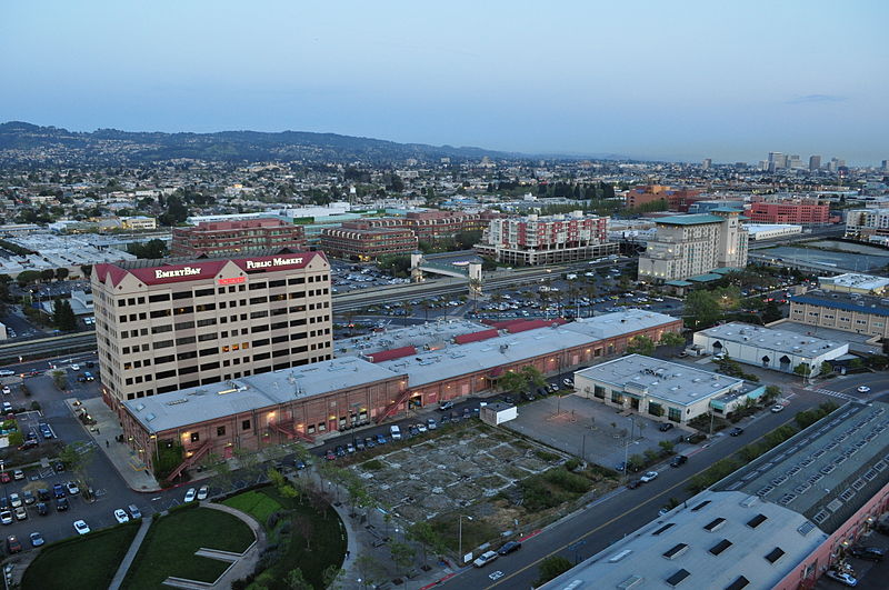
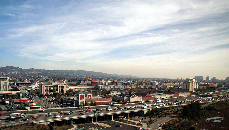
Emeryville is a small city located in northwest Alameda County, California, in the United States. It lies in a corridor between the cities of Berkeley and Oakland, with a border on the shore of San Francisco Bay. The resident population was 12,905 as of 2020. Its proximity to San Francisco, the Bay Bridge, the University of California, Berkeley, and Silicon Valley has been a catalyst for recent economic growth. ()
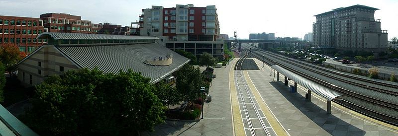
Getting there by public transportation
Public transportation stops near this location
- Metro
- Bus
- Train
 Metro
Metro
- Calculate route40th Street & Hollis Street 3 min walk
- Calculate route40th Street & Harlan Street 4 min walk
- Calculate routePixar 4 min walk
- Calculate routeHollis Street & 40th Street 4 min walk
- Calculate routeEmeryville 19 min walk
- Calculate routeMacArthur 26 min walk
Day trips


Frequently Asked Questions (FAQ)
Which popular attractions are close to Emeryville?
Nearby attractions include Emeryville Shellmound, Oakland (13 min walk), Dogtown, Oakland (13 min walk), San Pablo Arts District, Oakland (13 min walk), City Slicker Farms, Oakland (16 min walk).
How to get to Emeryville by public transport?
The nearest stations to Emeryville:
Bus
Train
Metro
Bus
- 40th Street & Hollis Street • Lines: 36, 57, F, Sp, Ss (3 min walk)
- 40th Street & Harlan Street • Lines: 36, 57, F (4 min walk)
Train
- Emeryville (19 min walk)
Metro
- MacArthur • Lines: Orange, Red, Yellow (26 min walk)