City Slicker Farms, Oakland

Gallery (1)
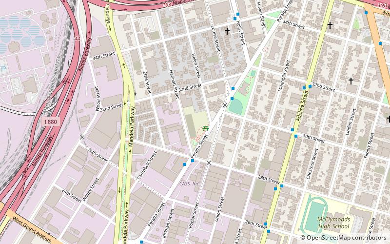
Map
Map
Facts and practical information
City Slicker Farms (address: 2847 Peralta Street) is a place located in Oakland (California state) and belongs to the category of park, relax in park.
It is situated at an altitude of 10 feet, and its geographical coordinates are 37°49'21"N latitude and 122°17'10"W longitude.
Planning a visit to this place, one can easily and conveniently get there by public transportation. City Slicker Farms is a short distance from the following public transport stations: Peralta Street & 28th Street (bus, 3 min walk), MacArthur (metro, 29 min walk).
Among other places and attractions worth visiting in the area are: Dogtown (neighbourhood, 4 min walk), Emeryville (area, 16 min walk), Oaks Park Stadium (sport venue, 20 min walk).
Elevation: 10 ft a.s.l.Coordinates: 37°49'21"N, 122°17'10"W
Getting there by public transportation
Public transportation stops near this location
- Metro
- Bus
 Metro
Metro
- Calculate routePeralta Street & 28th Street 3 min walk
- Calculate routeAdeline Street & 30th Street 7 min walk
- Calculate routeMacArthur 29 min walk
- Calculate route19th Street Oakland 35 min walk
Day trips


Frequently Asked Questions (FAQ)
Which popular attractions are close to City Slicker Farms?
Nearby attractions include Dogtown, Oakland (4 min walk), Emeryville, Oakland (16 min walk), West Oakland, Oakland (23 min walk), Emeryville Shellmound, Oakland (23 min walk).
How to get to City Slicker Farms by public transport?
The nearest stations to City Slicker Farms:
Bus
Metro
Bus
- Peralta Street & 28th Street • Lines: 29 (3 min walk)
- Adeline Street & 30th Street • Lines: 36 (7 min walk)
Metro
- MacArthur • Lines: Orange, Red, Yellow (29 min walk)
- 19th Street Oakland • Lines: Orange, Red, Yellow (35 min walk)