Emeryville Shellmound, Oakland
Map

Map

Facts and practical information
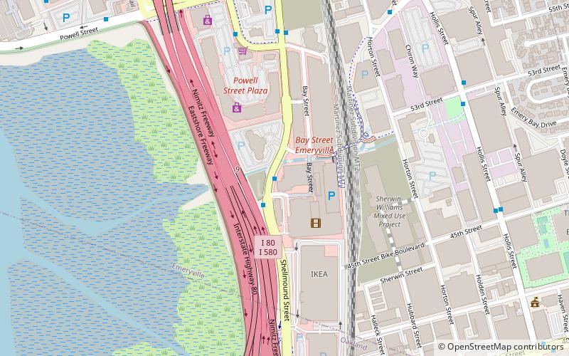
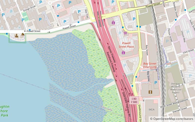
The Emeryville Shellmound, in Emeryville, California, is a sacred burial site of the Ohlone people, a once-massive archaeological shell midden deposit. It was one of a complex of five or six mounds along the mouth of the perennial Temescal Creek, on the east shore of San Francisco Bay between Oakland and Berkeley. It was the largest of the over 425 shellmounds that surrounded San Francisco Bay. The site of the Shellmound is now a California Historical Landmark. ()
Coordinates: 37°50'2"N, 122°17'35"W
Address
Emeryville (Bayfront and Peninsula)Oakland
ContactAdd
Social media
Add
Day trips
Emeryville Shellmound – popular in the area (distance from the attraction)
Nearby attractions include: Oaks Park Stadium, Trader Vic's, Bay Street Emeryville, Pacific Park Plaza.
Frequently Asked Questions (FAQ)
Which popular attractions are close to Emeryville Shellmound?
Nearby attractions include Emeryville mudflat sculptures, Berkeley (6 min walk), Emeryville, Oakland (13 min walk), San Pablo Arts District, Oakland (14 min walk), Pacific Park Plaza, Berkeley (15 min walk).
How to get to Emeryville Shellmound by public transport?
The nearest stations to Emeryville Shellmound:
Bus
Train
Bus
- Shellmound Street & Bay Street • Lines: 36, 57, F, Sp, Ss (1 min walk)
- Shellmound Street & Christie Avenue • Lines: Ns, Sp, Ss (7 min walk)
Train
- Emeryville (12 min walk)


