Saddle Ball Mountain, Mount Greylock State Reservation
#2 among attractions in Mount Greylock State Reservation


Facts and practical information
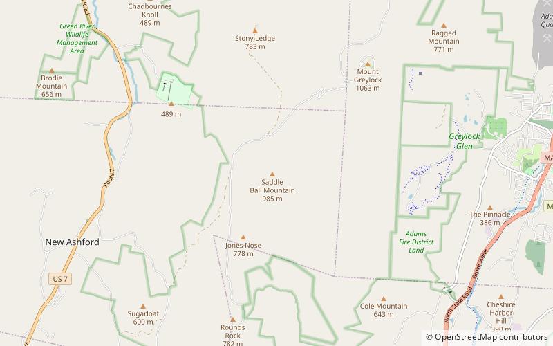
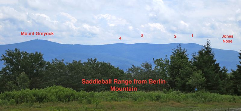
Located in Berkshire County, Saddle Ball Mountain is the 2nd highest peak in the Commonwealth of Massachusetts. ()
Mount Greylock State Reservation United States
Saddle Ball Mountain – popular in the area (distance from the attraction)
Nearby attractions include: Mount Greylock, Quaker Meetinghouse, Forest Park Country Club, Susan B. Anthony Birthplace Museum.
 Natural attraction, Park, Trail
Mount Greylock, Adams
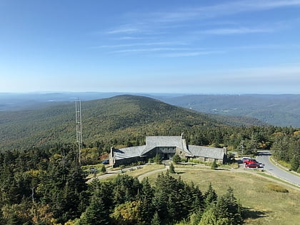
46 min walk • Mount Greylock is a 3,489-foot mountain located in the northwest corner of Massachusetts and is the highest point in the state. Its summit is in the western part of the town of Adams in Berkshire County.
 Church
Quaker Meetinghouse, Adams
84 min walk • The East Hoosac Quaker Meetinghouse is an historic Quaker meeting house in Adams, Berkshire County, Massachusetts. The meetinghouse's construction dates to the early 1780s. It now occupies a prominent position within the Maple Street Cemetery, the first burial ground in Adams.
 Golf
GolfForest Park Country Club, Adams
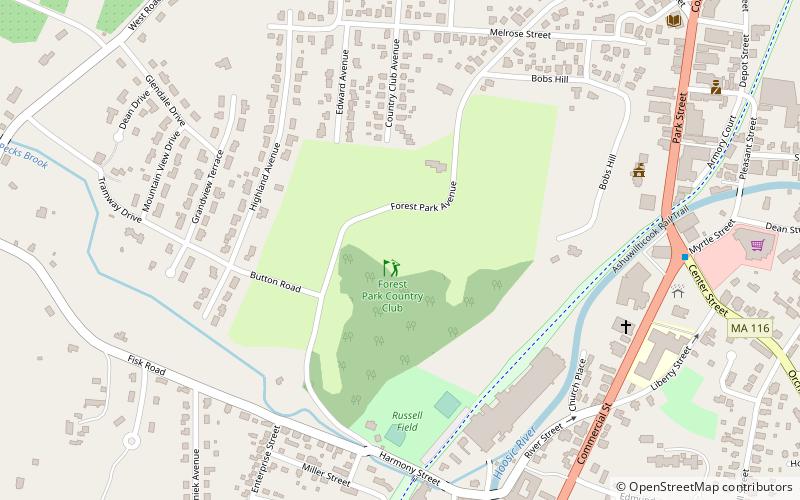
82 min walk • Forest Park Country Club is a public golf course located in Adams, Massachusetts, United States.
 Historical place, History museum, Museum
Susan B. Anthony Birthplace Museum, Adams
112 min walk • The Susan B. Anthony Birthplace Museum is a historic house museum at 67 East Road in Adams, Massachusetts. It is notable as the birthplace of suffragist Susan B. Anthony in 1820 and for its association with early educators and industrialists in Adams. The property was listed on the National Register of Historic Places in 1985.
 Park
ParkAshuwillticook Rail Trail, Cheshire
117 min walk • The Ashuwillticook Rail Trail is a rail trail built on a former railroad corridor that runs parallel to Route 8 through the towns of Cheshire, Lanesborough and Adams, Massachusetts and is used for biking, walking, roller-blading, and jogging.
 Museum, Farm, History museum
Field Farm, Williamstown
127 min walk • Field Farm is a 316-acre nature preserve and farm in Williamstown, Massachusetts, managed by the Trustees of Reservations. There are 4.5 miles of hiking trails on the reservation, which pass by swamp land, a pond, and the "Caves Lot" which features underground channels that water had cut into the limestone there.
 Natural attraction, Mountain
Mount Williams, Mount Greylock State Reservation
98 min walk • Mount Williams is the 4th highest peak in the Commonwealth of Massachusetts. It is located in the Greylock Range in Berkshire County. Its altitude is 2,951 feet.
 Natural attraction, Mountain
Mount Fitch, Mount Greylock State Reservation
77 min walk • Mount Fitch is the third-highest peak in the Commonwealth of Massachusetts at 3,110 feet. It is located on the ridge between Mount Greylock at 3,491 feet to its south and Mount Williams at 2,956 feet to its north.
 Church
St. Stanislaus Kostka Church, Adams
99 min walk • St. Stanislaus Kostka Church is a mission church designated for Polish immigrants in Adams, Massachusetts, United States. Founded in December 1902, it is one of the Polish-American Roman Catholic parishes in New England in the Diocese of Springfield in Massachusetts.
 Cemetery
Maple Street Cemetery, Adams
85 min walk • Maple Street Cemetery is a historic cemetery on Maple Street in Adams, Massachusetts. Established about 1760, it is the town's oldest cemetery, serving as a burying ground for its early Quaker settlers, as well as for some of its prominent 19th-century citizens.
 Hiking trail, Outdoor activities, Park
Ashuwillticook Rail Trail, Adams
114 min walk • The Ashuwillticook Rail Trail is a rail trail built on a former railroad corridor that runs parallel to Route 8 through the towns of Cheshire, Lanesborough and Adams, Massachusetts and is used for biking, walking, roller-blading, and jogging.
