Sunset Strip, Los Angeles
Map
Gallery
Facts and practical information
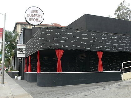
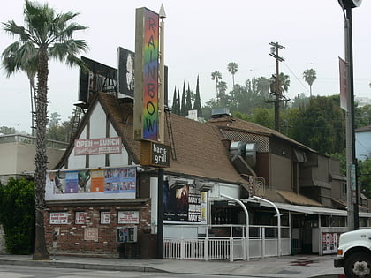
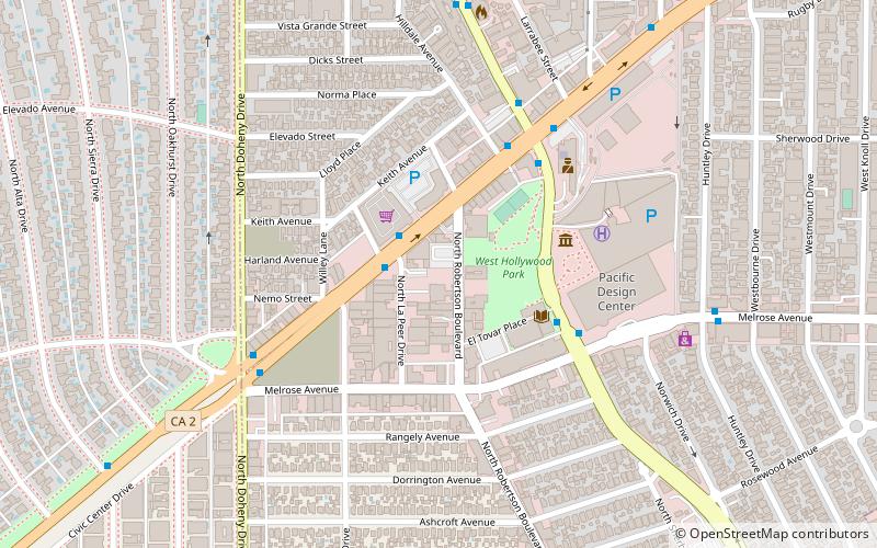
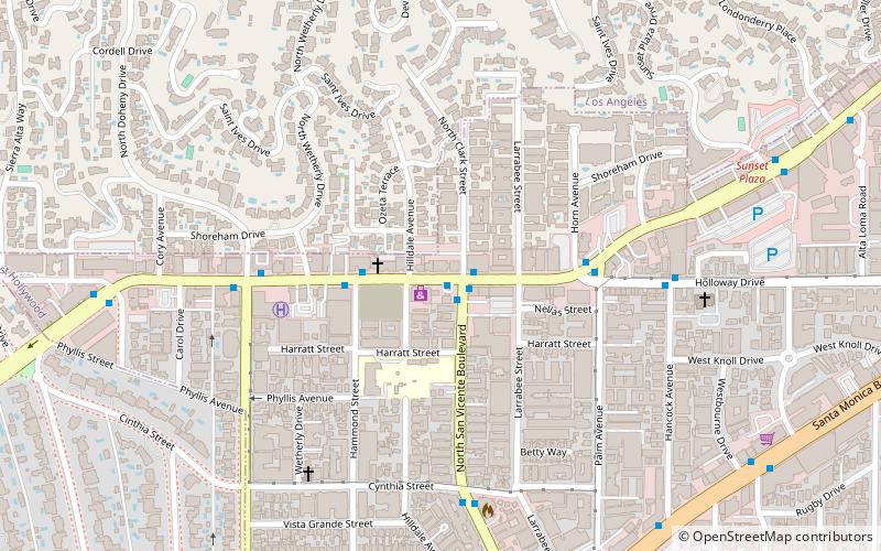
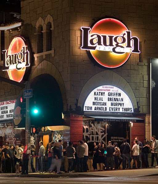
The Sunset Strip is the 1.5-mile stretch of Sunset Boulevard that passes through the city of West Hollywood, California. It extends from West Hollywood's eastern border with the city of Los Angeles near Marmont Lane to its western border with Beverly Hills at Phyllis Street. The Sunset Strip is known for its boutiques, restaurants, rock clubs, and nightclubs, as well as its array of huge, colorful billboards. ()
Address
Central Los Angeles (West Hollywood)Los Angeles
ContactAdd
Social media
Add
Day trips
Sunset Strip – popular in the area (distance from the attraction)
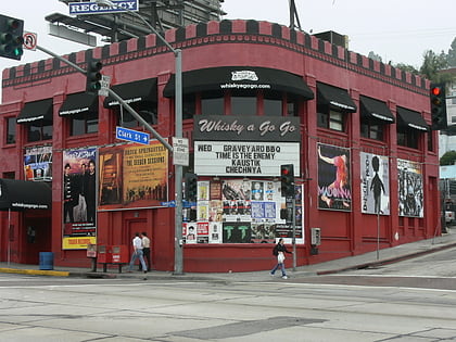
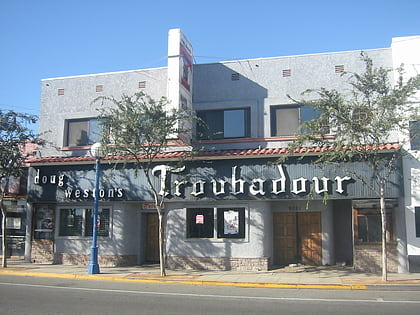
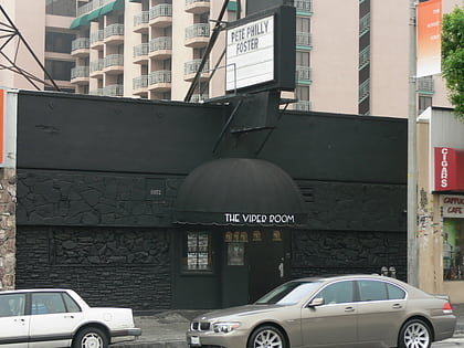
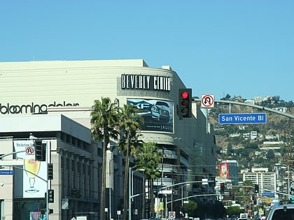
Nearby attractions include: Whisky a Go Go, Troubadour, The Viper Room, Beverly Center.
Frequently Asked Questions (FAQ)
Which popular attractions are close to Sunset Strip?
Nearby attractions include Book Soup, Los Angeles (3 min walk), Saint Victor Catholic Church, Los Angeles (8 min walk), Sierra Towers, Los Angeles (12 min walk), Pacific Design Center, Los Angeles (16 min walk).
How to get to Sunset Strip by public transport?
The nearest stations to Sunset Strip:
Bus
Bus
- Sunset & San Vicente • Lines: 2 (1 min walk)

 Metro & Regional Rail