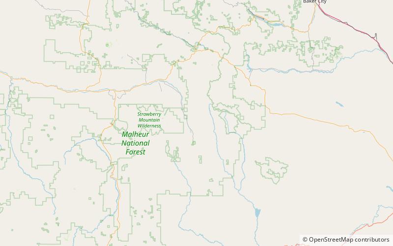
Lookout Mountain, Malheur National Forest

Map
Facts and practical information
Lookout Mountain is an 8,018-foot summit of the Strawberry Range in Grant County, Oregon in the United States. It is located in the Malheur National Forest, about 15 miles southeast of Prairie City. ()
Elevation: 8018 ftProminence: 2112 ftCoordinates: 44°17'20"N, 118°29'42"W
Address
Malheur National Forest
ContactAdd
Social media
Add
Day trips
Lookout Mountain – popular in the area (distance from the attraction)
Nearby attractions include: Strawberry Range.
